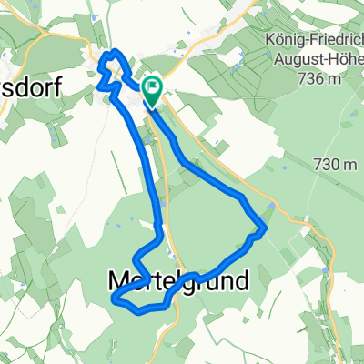
Sayda - Teichhaus - Cämmerswalde - Sayda
A cycling route starting in Sayda, Saxony, Germany.
Overview
About this route
Fronleichnam 2014
Rast in Imbiss Torfhaus, gutes preiswertes Essen.- -:--
- Duration
- 50.4 km
- Distance
- 650 m
- Ascent
- 650 m
- Descent
- ---
- Avg. speed
- ---
- Max. altitude
Route quality
Waytypes & surfaces along the route
Waytypes
Track
32.9 km
(65 %)
Road
5.9 km
(12 %)
Surfaces
Paved
23 km
(46 %)
Unpaved
24.7 km
(49 %)
Asphalt
20.2 km
(40 %)
Gravel
19.6 km
(39 %)
Continue with Bikemap
Use, edit, or download this cycling route
You would like to ride Sayda - Teichhaus - Cämmerswalde - Sayda or customize it for your own trip? Here is what you can do with this Bikemap route:
Free features
- Save this route as favorite or in collections
- Copy & plan your own version of this route
- Sync your route with Garmin or Wahoo
Premium features
Free trial for 3 days, or one-time payment. More about Bikemap Premium.
- Navigate this route on iOS & Android
- Export a GPX / KML file of this route
- Create your custom printout (try it for free)
- Download this route for offline navigation
Discover more Premium features.
Get Bikemap PremiumFrom our community
Other popular routes starting in Sayda
- Olbernhauer Radtour 2014 Fitness +
- Distance
- 70.5 km
- Ascent
- 810 m
- Descent
- 810 m
- Location
- Sayda, Saxony, Germany
- Sayda - Teichhaus - Cämmerswalde - Sayda
- Distance
- 50.4 km
- Ascent
- 650 m
- Descent
- 650 m
- Location
- Sayda, Saxony, Germany
- Sayda-Re.Bie.-Moldava-Cämerswalde-Sayda
- Distance
- 47.9 km
- Ascent
- 648 m
- Descent
- 648 m
- Location
- Sayda, Saxony, Germany
- Jamin 13
- Distance
- 40.2 km
- Ascent
- 559 m
- Descent
- 559 m
- Location
- Sayda, Saxony, Germany
- Forstweg 1, Sayda nach Forstweg 1, Sayda
- Distance
- 53.7 km
- Ascent
- 912 m
- Descent
- 909 m
- Location
- Sayda, Saxony, Germany
- Sayda - Neuhausen - Deutschneudorf - Seiffen - Olbernhau - Sayda
- Distance
- 42.2 km
- Ascent
- 510 m
- Descent
- 511 m
- Location
- Sayda, Saxony, Germany
- Himmelfahrt 2022
- Distance
- 53.8 km
- Ascent
- 1,045 m
- Descent
- 1,044 m
- Location
- Sayda, Saxony, Germany
- Sayda-Blockhausen-Clausnitz-Sayda
- Distance
- 25.6 km
- Ascent
- 401 m
- Descent
- 396 m
- Location
- Sayda, Saxony, Germany
Open it in the app