

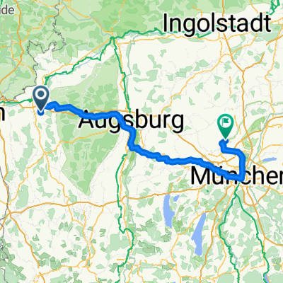
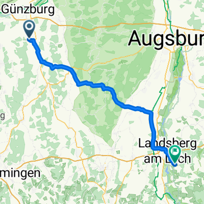
Günztal-Runde
A cycling route starting in Ichenhausen, Bavaria, Germany.
Overview
About this route
mainly secondary roads
Alternative start between Reifertsweiler and Wettenhausen
- -:--
- Duration
- 96.9 km
- Distance
- 398 m
- Ascent
- 403 m
- Descent
- ---
- Avg. speed
- ---
- Max. altitude
Route quality
Waytypes & surfaces along the route
Waytypes
Quiet road
67.8 km
(70 %)
Road
20.3 km
(21 %)
Surfaces
Paved
64.9 km
(67 %)
Unpaved
2.9 km
(3 %)
Asphalt
57.2 km
(59 %)
Paved (undefined)
7.8 km
(8 %)
Continue with Bikemap
Use, edit, or download this cycling route
You would like to ride Günztal-Runde or customize it for your own trip? Here is what you can do with this Bikemap route:
Free features
- Save this route as favorite or in collections
- Copy & plan your own version of this route
- Split it into stages to create a multi-day tour
- Sync your route with Garmin or Wahoo
Premium features
Free trial for 3 days, or one-time payment. More about Bikemap Premium.
- Navigate this route on iOS & Android
- Export a GPX / KML file of this route
- Create your custom printout (try it for free)
- Download this route for offline navigation
Discover more Premium features.
Get Bikemap PremiumFrom our community
Other popular routes starting in Ichenhausen
 1. Route 2014
- Distance
- 50.1 km
- Ascent
- 196 m
- Descent
- 197 m
- Location
- Ichenhausen, Bavaria, Germany
 Wiesenbach
- Distance
- 18.6 km
- Ascent
- 68 m
- Descent
- 70 m
- Location
- Ichenhausen, Bavaria, Germany
 Abend Tour
- Distance
- 29.8 km
- Ascent
- 297 m
- Descent
- 298 m
- Location
- Ichenhausen, Bavaria, Germany
 Heimatroute
- Distance
- 26.8 km
- Ascent
- 198 m
- Descent
- 197 m
- Location
- Ichenhausen, Bavaria, Germany
 Unterallgäu Märxle Bedernau
- Distance
- 73.5 km
- Ascent
- 317 m
- Descent
- 317 m
- Location
- Ichenhausen, Bavaria, Germany
 Geislingen an der Steige - Althegnenberg
- Distance
- 158.1 km
- Ascent
- 762 m
- Descent
- 786 m
- Location
- Ichenhausen, Bavaria, Germany
 Breitenbrunn
- Distance
- 35.6 km
- Ascent
- 151 m
- Descent
- 82 m
- Location
- Ichenhausen, Bavaria, Germany
 Ichenhausen - Pürgen
- Distance
- 78.7 km
- Ascent
- 888 m
- Descent
- 712 m
- Location
- Ichenhausen, Bavaria, Germany
Open it in the app