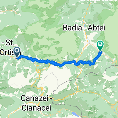
AXS Tour de Alps 2009 - Stage 13°

A cycling route starting in Santa Cristina Val Gardena, Trentino-Alto Adige, Italy.
OverviewAbout this route

Von St. Christina, über das Grödner Joch, den Campolongo, den Pordoj, den Falzarego, Cortina d´Petzo über den drei Zinnen Pass aun die Drei Zinnen als Schlussanstieg der AXS Tour de Alps 2009.

-:--
Duration
136.2 km
Distance
4,137 m
Ascent
3,864 m
Descent
---
Avg. speed
2,248 m
Max. altitude
AXSCoachcreated this 16 years ago
Route qualityWaytypes & surfaces along the route
Waytypes
  • Quiet road

    16.3 km12 %
  • Path

    6.8 km5 %
  • Access road

    2.7 km2 %
Surfaces

Paved

125.3 km(92 %)

Unpaved

1.4 km(1 %)
  • Asphalt

    124 km91 %
  • Paved (undefined)

    1.4 km1 %
  • Gravel

    1.4 km1 %
Continue with BikemapUse, edit, or download this cycling route
You would like to ride AXS Tour de Alps 2009 - Stage 13° or customize it for your own trip? Here is what you can do with this Bikemap route:
Free features
Premium features

Free trial for 3 days, or one-time payment. More about Bikemap Premium.

  • Navigate this route on iOS & Android
  • Export a GPX / KML file of this route
  • Create your custom printout (try it for free)
  • Download this route for offline navigation

Discover more Premium features.

Get Bikemap Premium
From our communityOther popular routes starting in Santa Cristina Val Gardena

Open it in the app