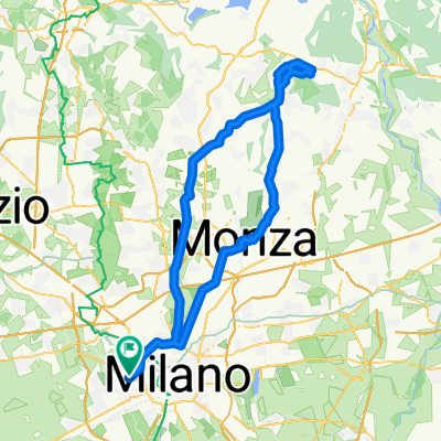
Monticello - Lissolo
- 88.8 km
- 452 m
- 449 m
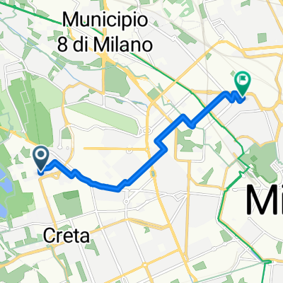
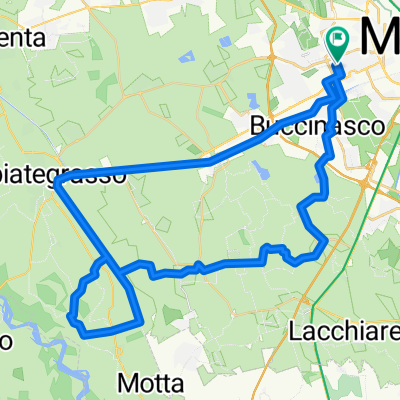
- Cesano Boscone, Lombardy, Italy
hgte
Free trial for 3 days, or one-time payment. More about Bikemap Premium.
Discover more Premium features.
Get Bikemap PremiumOpen it in the app