From Bad Mergentheim to Weikersheim
- 12.5 km
- 66 m
- 42 m
- Bad Mergentheim, Baden-Wurttemberg, Germany
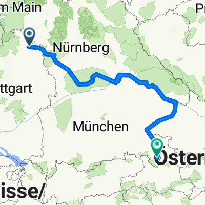
A cycling route starting in Bad Mergentheim, Baden-Wurttemberg, Germany.
Overview
Relatively long round tour with about 60 km approach via Kist and Reichenberg to a breakfast break in Ochsenfurt. Then continuing towards Steigerwald. After a short stretch of Steigerwald near Markt Nordheim, heading towards Heimmat east of Uffenheim. From Bieberehren return via the Taubertal to Edelfingen. At 165 km and about 1200 meters of elevation, this is a rather flat tour for local conditions.
created this 16 years ago
Route quality
Road
56.3 km
(34 %)
Quiet road
26.5 km
(16 %)
Paved
86.1 km
(52 %)
Unpaved
11.6 km
(7 %)
Asphalt
77.8 km
(47 %)
Paved (undefined)
8.3 km
(5 %)
Route highlights
Continue with Bikemap
You would like to ride Rundtour zum Rand des Steigerwaldes or customize it for your own trip? Here is what you can do with this Bikemap route:
Free trial for 3 days, or one-time payment. More about Bikemap Premium.
Discover more Premium features.
Get Bikemap PremiumFrom our community
Open it in the app