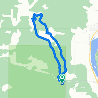
Highline 100k route, Fernie's Century Raod Ride
- 97.2 km
- 627 m
- 933 m
- Fernie, British Columbia, Canada
A cycling route starting in Fernie, British Columbia, Canada.
Overview
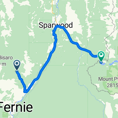
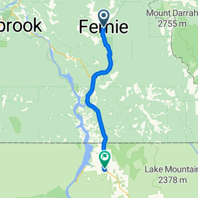
Fernie to Airport on roads via bull and Platzl
created this 11 years ago
Route quality
Quiet road
43.2 km
(27 %)
Road
41.6 km
(26 %)
Paved
59.1 km
(37 %)
Unpaved
57.5 km
(36 %)
Paved (undefined)
54.3 km
(34 %)
Gravel
38.4 km
(24 %)
Continue with Bikemap
You would like to ride airport via Bull River and Kimberley or customize it for your own trip? Here is what you can do with this Bikemap route:
Free trial for 3 days, or one-time payment. More about Bikemap Premium.
Discover more Premium features.
Get Bikemap PremiumFrom our community
Open it in the app