

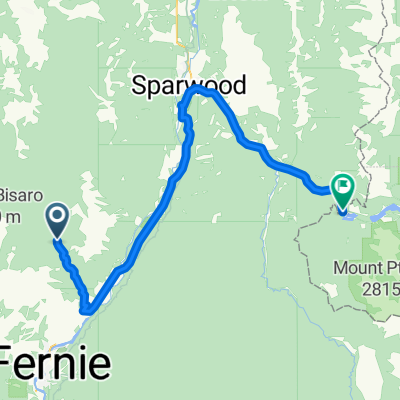
Fernie to Gray Creek
A cycling route starting in Fernie, British Columbia, Canada.
Overview
About this route
Kimberley Airport via Morrissey, Koocanusa, and Platzl - including rails to trails
- -:--
- Duration
- 209.8 km
- Distance
- 2,042 m
- Ascent
- 2,467 m
- Descent
- ---
- Avg. speed
- ---
- Max. altitude
chuck chuckerson
created this 11 years ago
Continue with Bikemap
Use, edit, or download this cycling route
You would like to ride Fernie to Gray Creek or customize it for your own trip? Here is what you can do with this Bikemap route:
Free features
- Save this route as favorite or in collections
- Copy & plan your own version of this route
- Split it into stages to create a multi-day tour
- Sync your route with Garmin or Wahoo
Premium features
Free trial for 3 days, or one-time payment. More about Bikemap Premium.
- Navigate this route on iOS & Android
- Export a GPX / KML file of this route
- Create your custom printout (try it for free)
- Download this route for offline navigation
Discover more Premium features.
Get Bikemap PremiumFrom our community
Other popular routes starting in Fernie
- airport via Bull River and Kimberley
- 159.8 km
- 1,123 m
- 1,171 m
- Fernie, British Columbia, Canada
- Kootenay - 5
- 52.8 km
- 489 m
- 608 m
- Fernie, British Columbia, Canada
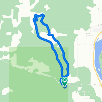
- Broadwood loop
- 76.7 km
- 705 m
- 705 m
- Fernie, British Columbia, Canada
- fernie to eureka
- 83.3 km
- 233 m
- 448 m
- Fernie, British Columbia, Canada
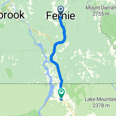
- Fernie-Cranbrook
- 106.1 km
- 399 m
- 496 m
- Fernie, British Columbia, Canada
- Fernie to Gray Creek
- 198.7 km
- 1,630 m
- 2,055 m
- Fernie, British Columbia, Canada


Open it in the app