Tetzelstein - Gardessen
- 16.5 km
- 72 m
- 261 m
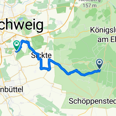
- Kneitlingen, Lower Saxony, Germany
A cycling route starting in Kneitlingen, Lower Saxony, Germany.
Overview
Through the Elm and a little around the Elm.
created this 11 years ago
Route quality
Road
20 km
(35 %)
Track
17.2 km
(30 %)
Paved
43.5 km
(76 %)
Unpaved
11.4 km
(20 %)
Asphalt
38.9 km
(68 %)
Gravel
8.6 km
(15 %)
Continue with Bikemap
You would like to ride Eilum>Lelm>Schöningen>Eilum or customize it for your own trip? Here is what you can do with this Bikemap route:
Free trial for 3 days, or one-time payment. More about Bikemap Premium.
Discover more Premium features.
Get Bikemap PremiumFrom our community
Open it in the app