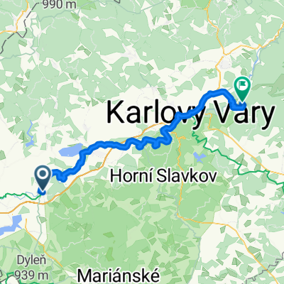
Přejezd Krušných hor

A cycling route starting in Kynšperk nad Ohří, Karlovarský kraj, Czechia.
OverviewAbout this route

Kynšperk nad Ohří - Šindelová - Boží Dar - Mount Saint Sebastian - Kálek - Mount Saint Catherine - Nová Ves v Horách - Fláje Reservoir - Nové Město - Mikulov - Oldřichov u Duchcova.

Route shortened due to persistent rain.

Translated, show original (Polish)
-:--
Duration
184.7 km
Distance
1,717 m
Ascent
1,888 m
Descent
---
Avg. speed
---
Max. altitude
Pavel Lakoscreated this 11 years ago
Route qualityWaytypes & surfaces along the route
Waytypes
  • Road

    96 km52 %
  • Track

    22.2 km12 %
  • Quiet road

    3.7 km2 %
Surfaces

Paved

73.9 km(40 %)

Unpaved

16.6 km(9 %)
  • Asphalt

    66.5 km36 %
  • Paved (undefined)

    7.4 km4 %
  • Gravel

    7.4 km4 %
Continue with BikemapUse, edit, or download this cycling route
You would like to ride Přejezd Krušných hor or customize it for your own trip? Here is what you can do with this Bikemap route:
Free features
Premium features

Free trial for 3 days, or one-time payment. More about Bikemap Premium.

  • Navigate this route on iOS & Android
  • Export a GPX / KML file of this route
  • Create your custom printout (try it for free)
  • Download this route for offline navigation

Discover more Premium features.

Get Bikemap Premium
From our communityOther popular routes starting in Kynšperk nad Ohří

Open it in the app