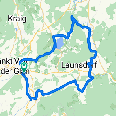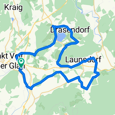
Untermühlbach - Hochosterwitz - Thalsdorf - Längsee - Schwag
- 30.7 km
- 505 m
- 503 m
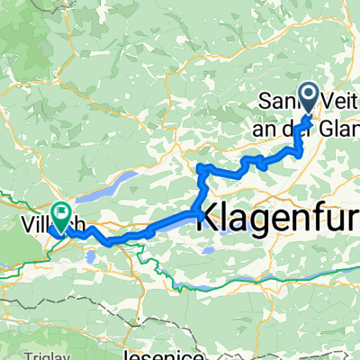
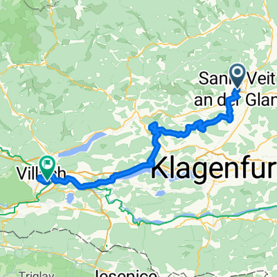
- Sankt Veit an der Glan, Carinthia, Austria
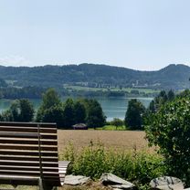
A cycling route starting in Sankt Veit an der Glan, Carinthia, Austria.
Overview
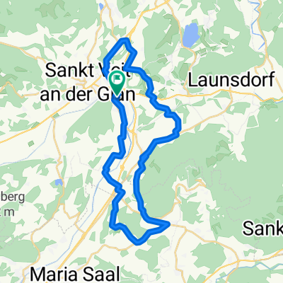
from Kalkgruberrauf 2 km steep (130 m elevation gain per km)
created this 11 years ago
Route quality
Quiet road
15.9 km
(71 %)
Living street
0.2 km
(1 %)
Paved
1.1 km
(5 %)
Unpaved
0.2 km
(1 %)
Asphalt
1.1 km
(5 %)
Gravel
0.2 km
(1 %)
Undefined
21 km
(94 %)
Continue with Bikemap
You would like to ride SV-Kalkgruber-Panotsch-Zwein-SV or customize it for your own trip? Here is what you can do with this Bikemap route:
Free trial for 3 days, or one-time payment. More about Bikemap Premium.
Discover more Premium features.
Get Bikemap PremiumFrom our community
Open it in the app