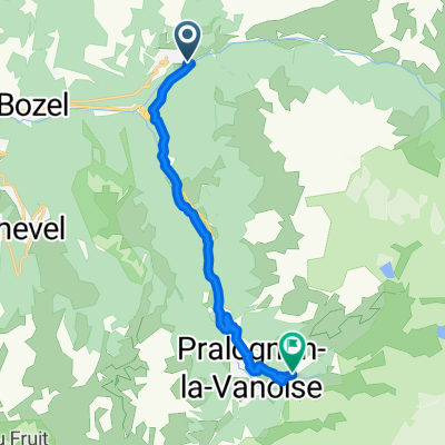
Madelene and glandon
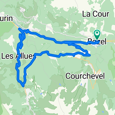
A cycling route starting in Bozel, Auvergne-Rh么ne-Alpes, France.
Overview
About this route
Madelene and glandon
- -:--
- Duration
- 230.4 km
- Distance
- 5,622 m
- Ascent
- 5,871 m
- Descent
- ---
- Avg. speed
- ---
- Max. altitude
Route quality
Waytypes & surfaces along the route
Waytypes
Road
11.5 km
(5 %)
Quiet road
9.2 km
(4 %)
Undefined
209.6 km
(91 %)
Surfaces
Paved
147.4 km
(64 %)
Asphalt
147.4 km
(64 %)
Undefined
82.9 km
(36 %)
Continue with Bikemap
Use, edit, or download this cycling route
You would like to ride Madelene and glandon or customize it for your own trip? Here is what you can do with this Bikemap route:
Free features
- Save this route as favorite or in collections
- Copy & plan your own version of this route
- Split it into stages to create a multi-day tour
- Sync your route with Garmin or Wahoo
Premium features
Free trial for 3 days, or one-time payment. More about Bikemap Premium.
- Navigate this route on iOS & Android
- Export a GPX / KML file of this route
- Create your custom printout (try it for free)
- Download this route for offline navigation
Discover more Premium features.
Get Bikemap PremiumFrom our community
Other popular routes starting in Bozel
- Alp race
- Distance
- 123.4 km
- Ascent
- 7,313 m
- Descent
- 6,214 m
- Location
- Bozel, Auvergne-Rh么ne-Alpes, France
- Rue Jean Jaur猫s 227, Bozel to Route Imp茅riale 2, Marthod
- Distance
- 81.2 km
- Ascent
- 435 m
- Descent
- 915 m
- Location
- Bozel, Auvergne-Rh么ne-Alpes, France
- Vanoise #1
- Distance
- 50 km
- Ascent
- 1,394 m
- Descent
- 1,392 m
- Location
- Bozel, Auvergne-Rh么ne-Alpes, France
- ride from Champagny-en-Vanoise to Saint-Bon-Tarentaise
- Distance
- 25.2 km
- Ascent
- 1,182 m
- Descent
- 362 m
- Location
- Bozel, Auvergne-Rh么ne-Alpes, France
- Vanoise #2
- Distance
- 38.9 km
- Ascent
- 980 m
- Descent
- 982 m
- Location
- Bozel, Auvergne-Rh么ne-Alpes, France
- Roc du Becoin
- Distance
- 32.5 km
- Ascent
- 1,844 m
- Descent
- 1,834 m
- Location
- Bozel, Auvergne-Rh么ne-Alpes, France
- Moutiers
- Distance
- 33.7 km
- Ascent
- 1,762 m
- Descent
- 1,759 m
- Location
- Bozel, Auvergne-Rh么ne-Alpes, France
- Dent du Villard
- Distance
- 35.9 km
- Ascent
- 2,299 m
- Descent
- 2,302 m
- Location
- Bozel, Auvergne-Rh么ne-Alpes, France
Open it in the app