Roquebrune-sur-Argens nach Plage De La Corniche D'azur und zurück
- 35 km
- 922 m
- 923 m
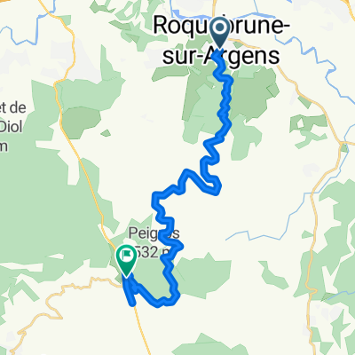
- Roquebrune-sur-Argens, Provence-Alpes-Côte d'Azur Region, France
A cycling route starting in Roquebrune-sur-Argens, Provence-Alpes-Côte d'Azur Region, France.
Overview
This route allows you to circle the state forest and offers numerous shaded passages, rocky descents, and a magnificent view of the Roquebrune rock.
Route quality
Track
16.2 km
(85 %)
Path
2.7 km
(14 %)
Access road
0.2 km
(1 %)
Unpaved
4.6 km
(24 %)
Unpaved (undefined)
1.7 km
(9 %)
Ground
1.5 km
(8 %)
Continue with Bikemap
You would like to ride ROQUEBRUNE - Palayson - niveau 3 or customize it for your own trip? Here is what you can do with this Bikemap route:
Free trial for 3 days, or one-time payment. More about Bikemap Premium.
Discover more Premium features.
Get Bikemap PremiumFrom our community
Open it in the app