

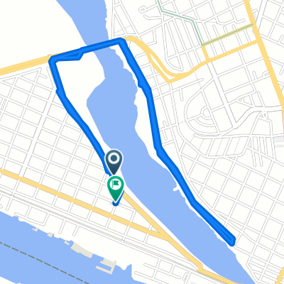
Entrenamiento subidas
A cycling route starting in Anahuac, Veracruz, Mexico.
Overview
About this route
Entrenamiento subidas
- -:--
- Duration
- 39.9 km
- Distance
- 330 m
- Ascent
- 330 m
- Descent
- ---
- Avg. speed
- ---
- Max. altitude

Continue with Bikemap
Use, edit, or download this cycling route
You would like to ride Entrenamiento subidas or customize it for your own trip? Here is what you can do with this Bikemap route:
Free features
- Save this route as favorite or in collections
- Copy & plan your own version of this route
- Sync your route with Garmin or Wahoo
Premium features
Free trial for 3 days, or one-time payment. More about Bikemap Premium.
- Navigate this route on iOS & Android
- Export a GPX / KML file of this route
- Create your custom printout (try it for free)
- Download this route for offline navigation
Discover more Premium features.
Get Bikemap PremiumFrom our community
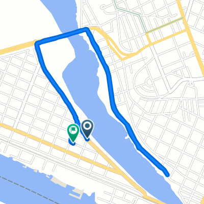
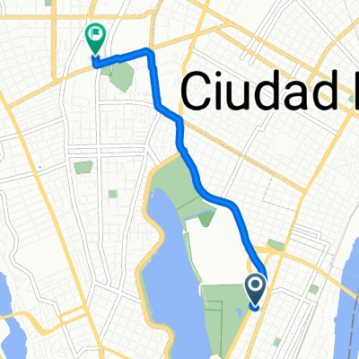
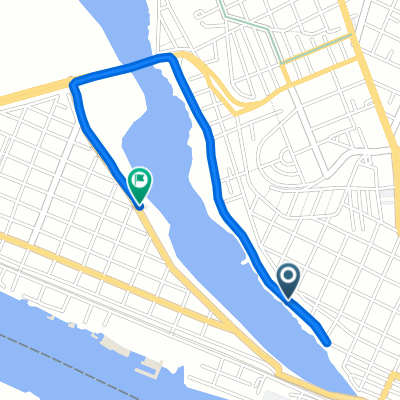
Other popular routes starting in Anahuac
 De Salvador Díaz Mirón 108, Tampico a Blvd. Costero SN-S RESTAURANT BAR EL HUACHINANGO, Ciudad Madero
- Distance
- 11.2 km
- Ascent
- 68 m
- Descent
- 79 m
- Location
- Anahuac, Veracruz, Mexico
 De Abasolo a Vicente Guerrero
- Distance
- 7.5 km
- Ascent
- 123 m
- Descent
- 113 m
- Location
- Anahuac, Veracruz, Mexico
 De Calle Francisco Medina Cedillo 302–306, Tampico a Boulevard Licenciado Adolfo López Mateos 2450, Tampico
- Distance
- 27.9 km
- Ascent
- 160 m
- Descent
- 172 m
- Location
- Anahuac, Veracruz, Mexico
 gordo 1
- Distance
- 5.4 km
- Ascent
- 57 m
- Descent
- 42 m
- Location
- Anahuac, Veracruz, Mexico
 trabajooo
- Distance
- 4.3 km
- Ascent
- 61 m
- Descent
- 23 m
- Location
- Anahuac, Veracruz, Mexico
 gordo hahaha
- Distance
- 2.9 km
- Ascent
- 26 m
- Descent
- 9 m
- Location
- Anahuac, Veracruz, Mexico
 Estrella 104, Tampico to Estrella 104, Tampico
- Distance
- 22.4 km
- Ascent
- 172 m
- Descent
- 183 m
- Location
- Anahuac, Veracruz, Mexico
 De Doctor Alfredo Gochicoa 1018, Tampico a Doctor Alfredo Gochicoa 1008, Tampico
- Distance
- 8.1 km
- Ascent
- 61 m
- Descent
- 49 m
- Location
- Anahuac, Veracruz, Mexico
Open it in the app