

Rund um Diespeck - Ostteil
A cycling route starting in Diespeck, Bavaria, Germany.
Overview
About this route
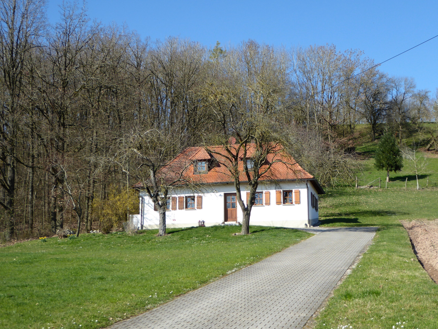
Tour through the eastern fields over Altenbuch, Dettendorf, Kaltenneuses, Eggensee, Saxony.
Also suitable as a hike. Partially well-marked (green/white diamond). Attention: before Oberachsen, it gets quite pathless through the forest after the labor pains. - -:--
- Duration
- 15.9 km
- Distance
- 210 m
- Ascent
- 214 m
- Descent
- ---
- Avg. speed
- ---
- Max. altitude
Continue with Bikemap
Use, edit, or download this cycling route
You would like to ride Rund um Diespeck - Ostteil or customize it for your own trip? Here is what you can do with this Bikemap route:
Free features
- Save this route as favorite or in collections
- Copy & plan your own version of this route
- Sync your route with Garmin or Wahoo
Premium features
Free trial for 3 days, or one-time payment. More about Bikemap Premium.
- Navigate this route on iOS & Android
- Export a GPX / KML file of this route
- Create your custom printout (try it for free)
- Download this route for offline navigation
Discover more Premium features.
Get Bikemap PremiumFrom our community
Other popular routes starting in Diespeck
 Sonntagmittag
- Distance
- 25.2 km
- Ascent
- 277 m
- Descent
- 286 m
- Location
- Diespeck, Bavaria, Germany
 Arbeitsweg
- Distance
- 36.6 km
- Ascent
- 356 m
- Descent
- 358 m
- Location
- Diespeck, Bavaria, Germany
 Diespeck - Langenfeld 25 km
- Distance
- 24.6 km
- Ascent
- 274 m
- Descent
- 279 m
- Location
- Diespeck, Bavaria, Germany
 Transferstrecke Diespeck - Forchheim
- Distance
- 43.1 km
- Ascent
- 100 m
- Descent
- 127 m
- Location
- Diespeck, Bavaria, Germany
 Radtour zu den Weihern bei Gottesgab und entlang der Kleinen Weissach Teil 1
- Distance
- 32.9 km
- Ascent
- 178 m
- Descent
- 162 m
- Location
- Diespeck, Bavaria, Germany
 Rund um Diespeck - Ostteil
- Distance
- 15.9 km
- Ascent
- 210 m
- Descent
- 214 m
- Location
- Diespeck, Bavaria, Germany
 Rundweg Diespeck-Münchsteinach-Diespeck
- Distance
- 19.1 km
- Ascent
- 161 m
- Descent
- 162 m
- Location
- Diespeck, Bavaria, Germany
 Burg Hoheneck und Aurachtal Runde
- Distance
- 44.5 km
- Ascent
- 327 m
- Descent
- 326 m
- Location
- Diespeck, Bavaria, Germany
Open it in the app