

059 b Araltankstelle Rheinböllen - Pfalzfeld - Emmelshausen - Beltheim - Laubach - Araltankstelle Rheinböllen
A cycling route starting in Dichtelbach, Rhineland-Palatinate, Germany.
Overview
About this route
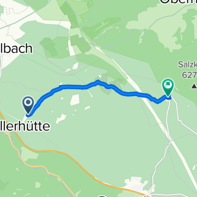
Start and finish location: Aral gas station Rheinböllen
Rheinböllen - Liebshausen - Kisselbach - Laudert - Pfalzfeld - Norath - Leiningen - Thörlingen - Bickenbach - Schnellbach - Frankweiler - Beltheim - Gödenroth - Ebschied - Laubach - Bubach - Riegenroth - Budenbach - Bergenhausen - Raverschied - Benzweiler - Mörschbach - Rheinböllen - Aral gas station.
- -:--
- Duration
- 62.7 km
- Distance
- 655 m
- Ascent
- 653 m
- Descent
- ---
- Avg. speed
- ---
- Max. altitude
Route quality
Waytypes & surfaces along the route
Waytypes
Road
15.7 km
(25 %)
Quiet road
0.6 km
(1 %)
Surfaces
Paved
37.6 km
(60 %)
Asphalt
37.6 km
(60 %)
Undefined
25.1 km
(40 %)
Continue with Bikemap
Use, edit, or download this cycling route
You would like to ride 059 b Araltankstelle Rheinböllen - Pfalzfeld - Emmelshausen - Beltheim - Laubach - Araltankstelle Rheinböllen or customize it for your own trip? Here is what you can do with this Bikemap route:
Free features
- Save this route as favorite or in collections
- Copy & plan your own version of this route
- Sync your route with Garmin or Wahoo
Premium features
Free trial for 3 days, or one-time payment. More about Bikemap Premium.
- Navigate this route on iOS & Android
- Export a GPX / KML file of this route
- Create your custom printout (try it for free)
- Download this route for offline navigation
Discover more Premium features.
Get Bikemap PremiumFrom our community
Other popular routes starting in Dichtelbach
 Rundkurs um die Waldgaststätte Emmrichshütte
- Distance
- 31.3 km
- Ascent
- 562 m
- Descent
- 562 m
- Location
- Dichtelbach, Rhineland-Palatinate, Germany
 059 b Araltankstelle Rheinböllen - Pfalzfeld - Emmelshausen - Beltheim - Laubach - Araltankstelle Rheinböllen
- Distance
- 62.7 km
- Ascent
- 655 m
- Descent
- 653 m
- Location
- Dichtelbach, Rhineland-Palatinate, Germany
 5 Rheinböllen Koblenz
- Distance
- 59.3 km
- Ascent
- 418 m
- Descent
- 774 m
- Location
- Dichtelbach, Rhineland-Palatinate, Germany
 Route nach Bacharacher Straße 16, Rheinböllen
- Distance
- 8.7 km
- Ascent
- 46 m
- Descent
- 287 m
- Location
- Dichtelbach, Rhineland-Palatinate, Germany
 Ditchelbacher Rad-MTB Kurzstrecke 2008
- Distance
- 35.4 km
- Ascent
- 658 m
- Descent
- 660 m
- Location
- Dichtelbach, Rhineland-Palatinate, Germany
 Niederwald
- Distance
- 31.9 km
- Ascent
- 455 m
- Descent
- 551 m
- Location
- Dichtelbach, Rhineland-Palatinate, Germany
 Kandrich & Ohligsberg / Emmerichshütte
- Distance
- 9.8 km
- Ascent
- 221 m
- Descent
- 221 m
- Location
- Dichtelbach, Rhineland-Palatinate, Germany
 Emmerichshütte 1, Daxweiler nach Forsthaus Lauschhütte 0, Weiler bei Bingen
- Distance
- 5.1 km
- Ascent
- 160 m
- Descent
- 92 m
- Location
- Dichtelbach, Rhineland-Palatinate, Germany
Open it in the app