![Boston Brevet 2010 110k [#429MA]](https://media.bikemap.net/routes/445134/staticmaps/in_205fd861-6f1e-4bd2-aaf4-755803386423_400x400_bikemap-2021-3D-static.png)
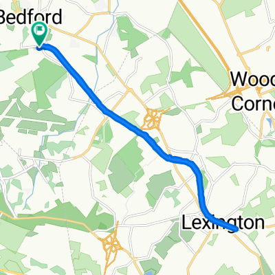
Boston Brevet 2010 110k [#429MA]
- 110.8 km
- 947 m
- 944 m
- Bedford, Massachusetts, United States
A cycling route starting in Bedford, Massachusetts, United States.
Overview
created this 16 years ago
Route quality
Road
8.9 km
(34 %)
Quiet road
2.6 km
(10 %)
Paved
18.5 km
(71 %)
Asphalt
18.2 km
(70 %)
Paved (undefined)
0.3 km
(1 %)
Undefined
7.6 km
(29 %)
Route highlights
To Work
Continue with Bikemap
You would like to ride To Work (taking the long way) or customize it for your own trip? Here is what you can do with this Bikemap route:
Free trial for 3 days, or one-time payment. More about Bikemap Premium.
Discover more Premium features.
Get Bikemap PremiumFrom our community
Open it in the app