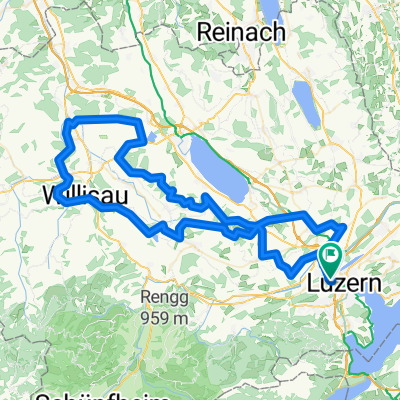
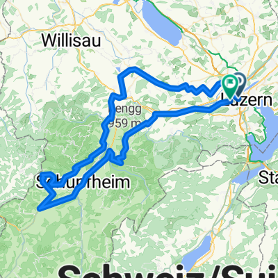
Flache Runde, v2
- 87.3 km
- 1,081 m
- 1,074 m
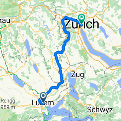
- Lucerne, Canton of Lucerne, Switzerland
A cycling route starting in Lucerne, Canton of Lucerne, Switzerland.
Overview
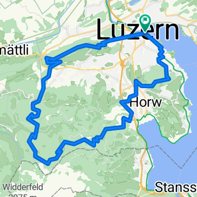
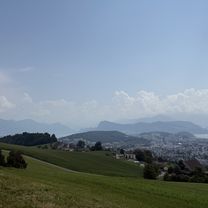
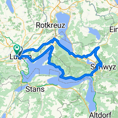
Luzern-fräkmünt-alpgschwend-hergiswil-buchrain
distance from Buchrain back to Buchrain 55km, 1273 meters. Ride time approx. 4 hours
created this 11 years ago
Continue with Bikemap
You would like to ride Luzern-fräkmunt-alpgschwend-hergiswil-buchrain or customize it for your own trip? Here is what you can do with this Bikemap route:
Free trial for 3 days, or one-time payment. More about Bikemap Premium.
Discover more Premium features.
Get Bikemap PremiumFrom our community
Open it in the app