

大嶼山白芒梅窩大佛深屈道
A cycling route starting in Tung Chung, Islands District, Hong Kong.
Overview
About this route
None
- -:--
- Duration
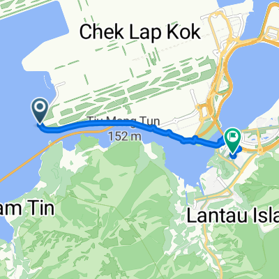
- 44.8 km
- Distance
- 936 m
- Ascent
- 943 m
- Descent
- ---
- Avg. speed
- ---
- Max. altitude

Continue with Bikemap
Use, edit, or download this cycling route
You would like to ride 大嶼山白芒梅窩大佛深屈道 or customize it for your own trip? Here is what you can do with this Bikemap route:
Free features
- Save this route as favorite or in collections
- Copy & plan your own version of this route
- Sync your route with Garmin or Wahoo
Premium features
Free trial for 3 days, or one-time payment. More about Bikemap Premium.
- Navigate this route on iOS & Android
- Export a GPX / KML file of this route
- Create your custom printout (try it for free)
- Download this route for offline navigation
Discover more Premium features.
Get Bikemap PremiumFrom our community
Other popular routes starting in Tung Chung
 2021-11-24 寳蓮寺獨自取西經之路
- Distance
- 37.3 km
- Ascent
- 1,703 m
- Descent
- 1,719 m
- Location
- Tung Chung, Islands District, Hong Kong
 Airport (Road)
- Distance
- 6.4 km
- Ascent
- 72 m
- Descent
- 71 m
- Location
- Tung Chung, Islands District, Hong Kong
 初試大嶼山
初試大嶼山- Distance
- 11.3 km
- Ascent
- 7 m
- Descent
- 17 m
- Location
- Tung Chung, Islands District, Hong Kong
 大澳古道
大澳古道- Distance
- 22.1 km
- Ascent
- 366 m
- Descent
- 357 m
- Location
- Tung Chung, Islands District, Hong Kong
 2021-12-10 東涌,深屈,機場郊遊樂
- Distance
- 74.6 km
- Ascent
- 1,720 m
- Descent
- 1,717 m
- Location
- Tung Chung, Islands District, Hong Kong
 New Territories to Disneyland Resort Station
- Distance
- 14.7 km
- Ascent
- 116 m
- Descent
- 132 m
- Location
- Tung Chung, Islands District, Hong Kong
 TAI O (Old TC Road)
- Distance
- 41.3 km
- Ascent
- 1,025 m
- Descent
- 1,025 m
- Location
- Tung Chung, Islands District, Hong Kong
 大嶼山白芒梅窩大佛深屈道
- Distance
- 44.8 km
- Ascent
- 936 m
- Descent
- 943 m
- Location
- Tung Chung, Islands District, Hong Kong
Open it in the app