KRANJ - SLOVENJ GRADEC
- 110.2 km
- 1,108 m
- 1,073 m
- Hrastje, Občina Šenčur, Slovenia
A cycling route starting in Hrastje, Občina Šenčur, Slovenia.
Overview
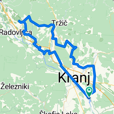
Drulovka - farma - Orehek - Drulovka (tekaška)
created this 11 years ago
Route quality
Quiet road
6.4 km
(68 %)
Road
2.7 km
(29 %)
Paved
7.6 km
(80 %)
Asphalt
6.4 km
(68 %)
Paved (undefined)
1.1 km
(12 %)
Undefined
1.9 km
(20 %)
Continue with Bikemap
You would like to ride Drulovka - farma - Orehek - Drulovka (tekaška) or customize it for your own trip? Here is what you can do with this Bikemap route:
Free trial for 3 days, or one-time payment. More about Bikemap Premium.
Discover more Premium features.
Get Bikemap PremiumFrom our community
Open it in the app