Veldensteiner Forst über Betzenstein
A cycling route starting in Hiltpoltstein, Bavaria, Germany.
Overview
About this route
- -:--
- Duration
- 56.3 km
- Distance
- 944 m
- Ascent
- 991 m
- Descent
- ---
- Avg. speed
- 593 m
- Avg. speed
Route quality
Waytypes & surfaces along the route
Waytypes
Road
18.2 km
(32 %)
Track
17.7 km
(31 %)
Surfaces
Paved
11.8 km
(21 %)
Unpaved
16.6 km
(29 %)
Gravel
14.5 km
(26 %)
Asphalt
10.8 km
(19 %)
Continue with Bikemap
Use, edit, or download this cycling route
You would like to ride Veldensteiner Forst über Betzenstein or customize it for your own trip? Here is what you can do with this Bikemap route:
Free features
- Save this route as favorite or in collections
- Copy & plan your own version of this route
- Sync your route with Garmin or Wahoo
Premium features
Free trial for 3 days, or one-time payment. More about Bikemap Premium.
- Navigate this route on iOS & Android
- Export a GPX / KML file of this route
- Create your custom printout (try it for free)
- Download this route for offline navigation
Discover more Premium features.
Get Bikemap PremiumFrom our community
Other popular routes starting in Hiltpoltstein
- Quer durch die Fränkische Schweiz
- Distance
- 84 km
- Ascent
- 1,328 m
- Descent
- 1,271 m
- Location
- Hiltpoltstein, Bavaria, Germany
- G_Bayern_Spies-Schweinsberg-Klausberg-Eckenreuth-Reuthof--Eibgrat_LR-15,1km-270hm
- Distance
- 16.2 km
- Ascent
- 380 m
- Descent
- 367 m
- Location
- Hiltpoltstein, Bavaria, Germany
- Fränkische Schweiz
- Distance
- 88.4 km
- Ascent
- 1,370 m
- Descent
- 1,335 m
- Location
- Hiltpoltstein, Bavaria, Germany
- Burg Leienfels RF ab Spies
- Distance
- 44.3 km
- Ascent
- 531 m
- Descent
- 510 m
- Location
- Hiltpoltstein, Bavaria, Germany
- Burg Wildenfels u. Strahlenfels Wander
- Distance
- 5.8 km
- Ascent
- 153 m
- Descent
- 156 m
- Location
- Hiltpoltstein, Bavaria, Germany
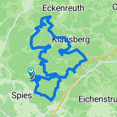
- Trubachtal-Pegnitztal
- Distance
- 96.8 km
- Ascent
- 1,358 m
- Descent
- 1,315 m
- Location
- Hiltpoltstein, Bavaria, Germany
- Spies_Reipertsgesee_Betzenstein_Eibengrat
- Distance
- 14.5 km
- Ascent
- 418 m
- Descent
- 421 m
- Location
- Hiltpoltstein, Bavaria, Germany
- hiltpoltstein_strahlenfels_obertrubach
- Distance
- 20.2 km
- Ascent
- 547 m
- Descent
- 549 m
- Location
- Hiltpoltstein, Bavaria, Germany
Open it in the app