

Pamina Rheinradweg Iffezheim-Wörth
A cycling route starting in Roppenheim, Grand Est, France.
Overview
About this route
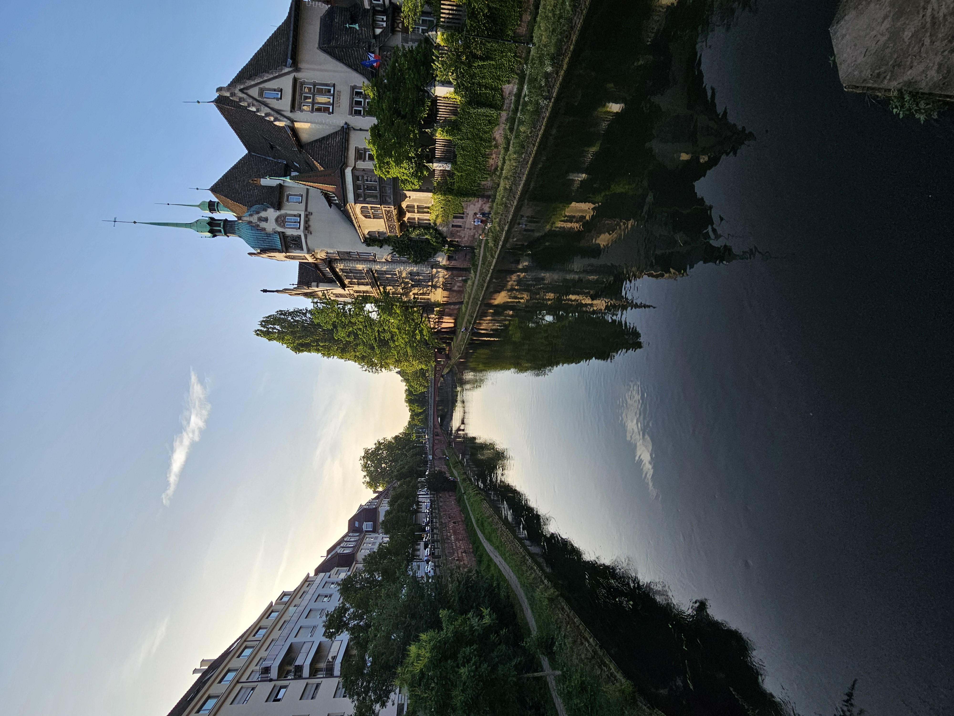
Route leads along the Rhine in Alsace
- -:--
- Duration
- 95.2 km
- Distance
- 71 m
- Ascent
- 93 m
- Descent
- ---
- Avg. speed
- ---
- Max. altitude
Route quality
Waytypes & surfaces along the route
Waytypes
Track
57.1 km
(60 %)
Path
12.4 km
(13 %)
Surfaces
Paved
91.4 km
(96 %)
Unpaved
1 km
(1 %)
Asphalt
87.6 km
(92 %)
Paved (undefined)
3.8 km
(4 %)
Continue with Bikemap
Use, edit, or download this cycling route
You would like to ride Pamina Rheinradweg Iffezheim-Wörth or customize it for your own trip? Here is what you can do with this Bikemap route:
Free features
- Save this route as favorite or in collections
- Copy & plan your own version of this route
- Split it into stages to create a multi-day tour
- Sync your route with Garmin or Wahoo
Premium features
Free trial for 3 days, or one-time payment. More about Bikemap Premium.
- Navigate this route on iOS & Android
- Export a GPX / KML file of this route
- Create your custom printout (try it for free)
- Download this route for offline navigation
Discover more Premium features.
Get Bikemap PremiumFrom our community
Other popular routes starting in Roppenheim
 Elsass, 22. Juni 2025
- Distance
- 52.3 km
- Ascent
- 117 m
- Descent
- 96 m
- Location
- Roppenheim, Grand Est, France
 seltz
seltz- Distance
- 9.5 km
- Ascent
- 0 m
- Descent
- 0 m
- Location
- Roppenheim, Grand Est, France
 RR12 - Drusenheim > Karlsruhe
- Distance
- 49.5 km
- Ascent
- 147 m
- Descent
- 150 m
- Location
- Roppenheim, Grand Est, France
 Wintersdorf 67Km / 310m
- Distance
- 67.8 km
- Ascent
- 345 m
- Descent
- 345 m
- Location
- Roppenheim, Grand Est, France
 SAP
SAP- Distance
- 33.8 km
- Ascent
- 61 m
- Descent
- 55 m
- Location
- Roppenheim, Grand Est, France
 Pamina Rheinradweg Iffezheim-Wörth
- Distance
- 95.2 km
- Ascent
- 71 m
- Descent
- 93 m
- Location
- Roppenheim, Grand Est, France
 Roppenheim Fort-Louis 27km
- Distance
- 26.6 km
- Ascent
- 4 m
- Descent
- 5 m
- Location
- Roppenheim, Grand Est, France
 donau route
- Distance
- 34.8 km
- Ascent
- 220 m
- Descent
- 228 m
- Location
- Roppenheim, Grand Est, France
Open it in the app