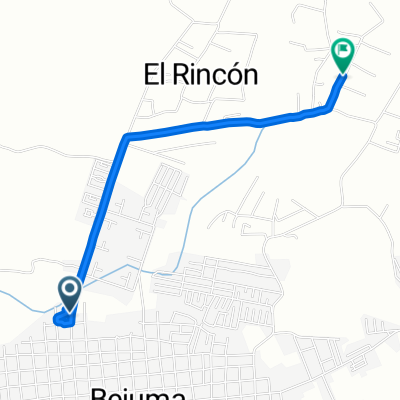
Bejuma - La Torre
- 9.6 km
- 589 m
- 528 m
- Bejuma, Carabobo, Venezuela
A cycling route starting in Bejuma, Carabobo, Venezuela.
Overview
RETO SAN ISIDRO 2014 (Bejuma Municipality)
This is a route starting at the Centro Social Bejuma located in the municipality. It covers 14.7 kilometers on paved roads, passing through the town of Aguirre; this asphalt section will be ridden at a controlled speed set by an official vehicle leading the peloton of cyclists to ensure participants' safety. Once past the asphalt route, the vehicle leaves and cyclists begin the climb at their own chosen pace depending on their physical condition. The climb consists of 5.8 kilometers of both gentle and steep ascents, mostly through shaded forested areas. Upon reaching the antennas, riders face a roughly 150-meter long very challenging climb known as 'La Pared', which can be climbed by cyclists in excellent physical shape. Those without such conditions can reach the antennas by an alternative, less demanding path. At the summit, beautiful views of Carabobo's Upper Valleys can be enjoyed. The descent can be dangerous due to its steepness, so it is advisable for solo riders to wait for several companions to descend gradually. The first kilometers include dangerous descents and some climbs, then a more technical and wooded descent begins ending at the La Calceta hacienda. Finally, the route ends with a few flat kilometers with various undulations and short climbs and descents, crossing through the town of Bejuma, completing the course and arriving at the finish line of the Reto San Isidro at the Centro Social Bejuma.
Starting point: Centro Social Bejuma
Licorería (next to the estuary) 12.5 km Kiosks 14.7 km Asphalt climb approx. 2.5 km Km 14.8 start of dirt climb Km 15.6 first hydration point Km 17.9 second hydration point (small school) Km 20.6 third hydration point (antennas) and start of the descent Km 33 finish
created this 11 years ago
Continue with Bikemap
You would like to ride Reto San Isidro Municipio Bejuma or customize it for your own trip? Here is what you can do with this Bikemap route:
Free trial for 3 days, or one-time payment. More about Bikemap Premium.
Discover more Premium features.
Get Bikemap PremiumFrom our community
Open it in the app