
Šentrupert (8)
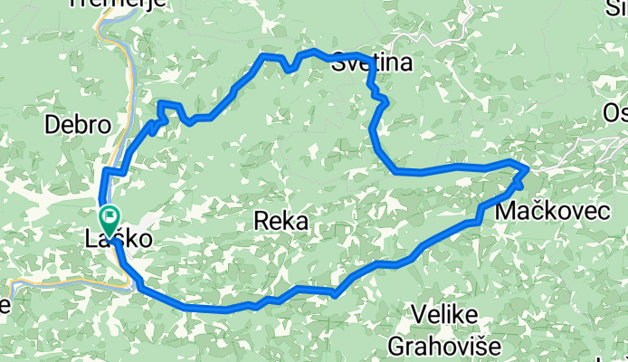
A cycling route starting in Laško, Laško Municipality, Slovenia.
Overview
About this route
Laško, Jagoče, Svetina, Kanjuce, Šentrupert, Tevče, Marija Gradec, Laško
- -:--
- Duration
- 26.7 km
- Distance
- 519 m
- Ascent
- 516 m
- Descent
- ---
- Avg. speed
- ---
- Max. altitude

Continue with Bikemap
Use, edit, or download this cycling route
You would like to ride Šentrupert (8) or customize it for your own trip? Here is what you can do with this Bikemap route:
Free features
- Save this route as favorite or in collections
- Copy & plan your own version of this route
- Sync your route with Garmin or Wahoo
Premium features
Free trial for 3 days, or one-time payment. More about Bikemap Premium.
- Navigate this route on iOS & Android
- Export a GPX / KML file of this route
- Create your custom printout (try it for free)
- Download this route for offline navigation
Discover more Premium features.
Get Bikemap PremiumFrom our community
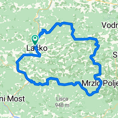
Other popular routes starting in Laško
 4. dan
- Distance
- 98.6 km
- Ascent
- 187 m
- Descent
- 297 m
- Location
- Laško, Laško Municipality, Slovenia
 Jagoče - Svetina
- Distance
- 9.4 km
- Ascent
- 568 m
- Descent
- 105 m
- Location
- Laško, Laško Municipality, Slovenia
 Malič
Malič- Distance
- 9.6 km
- Ascent
- 706 m
- Descent
- 0 m
- Location
- Laško, Laško Municipality, Slovenia
 Hribovje nad Laškim
- Distance
- 52.9 km
- Ascent
- 739 m
- Descent
- 741 m
- Location
- Laško, Laško Municipality, Slovenia
 Laški krog 4. etapa
- Distance
- 32.4 km
- Ascent
- 985 m
- Descent
- 988 m
- Location
- Laško, Laško Municipality, Slovenia
 ALPEN 022: Rimske Toplice - Dravograd
- Distance
- 82.1 km
- Ascent
- 609 m
- Descent
- 483 m
- Location
- Laško, Laško Municipality, Slovenia
 Šentrupert (8)
- Distance
- 26.7 km
- Ascent
- 519 m
- Descent
- 516 m
- Location
- Laško, Laško Municipality, Slovenia
 Šmohor (4)
- Distance
- 26.3 km
- Ascent
- 633 m
- Descent
- 633 m
- Location
- Laško, Laško Municipality, Slovenia
Open it in the app