

Soneja-Altura-Regajo-Navajas-Bikemap
- 42 km
- 370 m
- 369 m
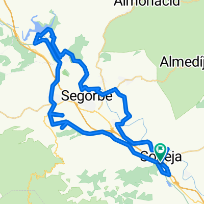
- Soneja, Valencia, Spain
A cycling route starting in Soneja, Valencia, Spain.
Overview
Route that at first does not awaken interest, but as the kilometers pass, you realize the quality of the terrain you are traveling through. Perfect asphalt, scarce or no traffic, and views that are picture-perfect. Practically half of the route is spent ascending and the other half on descents that will take you to your destination. The climbs do not present any special difficulties.
Route quality
Road
34.7 km
(37 %)
Cycleway
8.4 km
(9 %)
Paved
21.6 km
(23 %)
Unpaved
3.8 km
(4 %)
Asphalt
20.6 km
(22 %)
Gravel
2.8 km
(3 %)
Continue with Bikemap
You would like to ride Soneja-Altura-Sacañet-LaBellida-Torás-Jérica-Soneja or customize it for your own trip? Here is what you can do with this Bikemap route:
Free trial for 3 days, or one-time payment. More about Bikemap Premium.
Discover more Premium features.
Get Bikemap PremiumFrom our community
Open it in the app


