

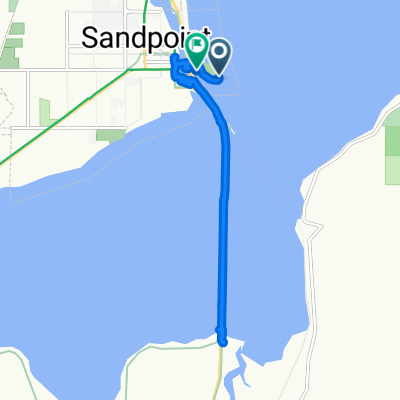
Sandpoint, ID - Riggins, ID
A cycling route starting in Sandpoint, Idaho, United States of America.
Overview
About this route
Sandpoint - Missoula - Arco - Ketchum - Stanley- Cascade - Riggins - White Bird Hill - Grangeville
- -:--
- Duration
- 1,387.6 km
- Distance
- 4,635 m
- Ascent
- 4,262 m
- Descent
- ---
- Avg. speed
- ---
- Max. altitude
Route quality
Waytypes & surfaces along the route
Waytypes
Busy road
834 km
(60 %)
Cycleway
307.8 km
(22 %)
Surfaces
Paved
539.6 km
(39 %)
Unpaved
34.9 km
(3 %)
Asphalt
297 km
(21 %)
Paved (undefined)
241.5 km
(17 %)
Continue with Bikemap
Use, edit, or download this cycling route
You would like to ride Sandpoint, ID - Riggins, ID or customize it for your own trip? Here is what you can do with this Bikemap route:
Free features
- Save this route as favorite or in collections
- Copy & plan your own version of this route
- Split it into stages to create a multi-day tour
- Sync your route with Garmin or Wahoo
Premium features
Free trial for 3 days, or one-time payment. More about Bikemap Premium.
- Navigate this route on iOS & Android
- Export a GPX / KML file of this route
- Create your custom printout (try it for free)
- Download this route for offline navigation
Discover more Premium features.
Get Bikemap PremiumFrom our community
Other popular routes starting in Sandpoint
 Sandpoint - Arco - Grangeville
- Distance
- 1,387 km
- Ascent
- 4,106 m
- Descent
- 3,712 m
- Location
- Sandpoint, Idaho, United States of America
 Sandpoint 33.9
- Distance
- 54.5 km
- Ascent
- 779 m
- Descent
- 779 m
- Location
- Sandpoint, Idaho, United States of America
 Route to 54 Bridge St, Sandpoint
- Distance
- 10.8 km
- Ascent
- 56 m
- Descent
- 55 m
- Location
- Sandpoint, Idaho, United States of America
 901–999 N Sixth Ave, Sandpoint to 5565 Selle Rd, Sandpoint
- Distance
- 17.1 km
- Ascent
- 81 m
- Descent
- 75 m
- Location
- Sandpoint, Idaho, United States of America
 Bridge Street 106, Sandpoint to Bridge Street 106, Sandpoint
- Distance
- 9.8 km
- Ascent
- 34 m
- Descent
- 27 m
- Location
- Sandpoint, Idaho, United States of America
 Route from East Superior Street 213, Sandpoint
- Distance
- 34.4 km
- Ascent
- 190 m
- Descent
- 104 m
- Location
- Sandpoint, Idaho, United States of America
 day 1
day 1- Distance
- 107.6 km
- Ascent
- 466 m
- Descent
- 490 m
- Location
- Sandpoint, Idaho, United States of America
 Sandpoint, ID - Riggins, ID
- Distance
- 1,387.6 km
- Ascent
- 4,635 m
- Descent
- 4,262 m
- Location
- Sandpoint, Idaho, United States of America
Open it in the app