140 km Historická města a obce jižního Plzeňska "silniční Sporťák"
- 138.8 km
- 1,402 m
- 1,400 m
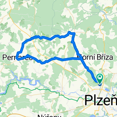
- Třemošná, Plzeň Region, Czechia
A cycling route starting in Třemošná, Plzeň Region, Czechia.
Overview
…
created this 11 years ago
Route highlights
pivo
malesicka skala
hrad kyjov
kaplicka
pivo
pivo
Continue with Bikemap
You would like to ride Sidlovak – Chotikov – Malesicka skala – Radcice –Sylvan – Sidlovak or customize it for your own trip? Here is what you can do with this Bikemap route:
Free trial for 3 days, or one-time payment. More about Bikemap Premium.
Discover more Premium features.
Get Bikemap PremiumFrom our community
Open it in the app