

bip More
A cycling route starting in Donji grad, City of Zagreb, Croatia.
Overview
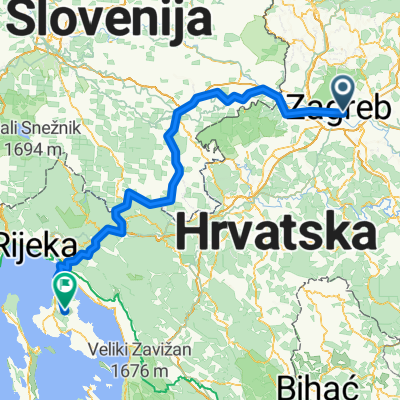
About this route
route 1 - Zagreb - Karlovac - Cetingrad
route 2 - Cetingrad - Velika Kladuša - Cetingrad route 3 - Cetingrad - Plitvička Jezera route 4 - Plitvička Jezera - Gospić route 5 - Gospić - Obrovac route 6 - Obrovac - Zadar route 7 - Zadar - Sakarun - Zverinac - Molat - Ist - Silba - Mali Lošinj Mali Lošinj - Cres - Malinska - Selce - Rijeka (cloned from route 2631953)- -:--
- Duration
- 804.3 km
- Distance
- 1,852 m
- Ascent
- 1,959 m
- Descent
- ---
- Avg. speed
- ---
- Max. altitude

Route highlights
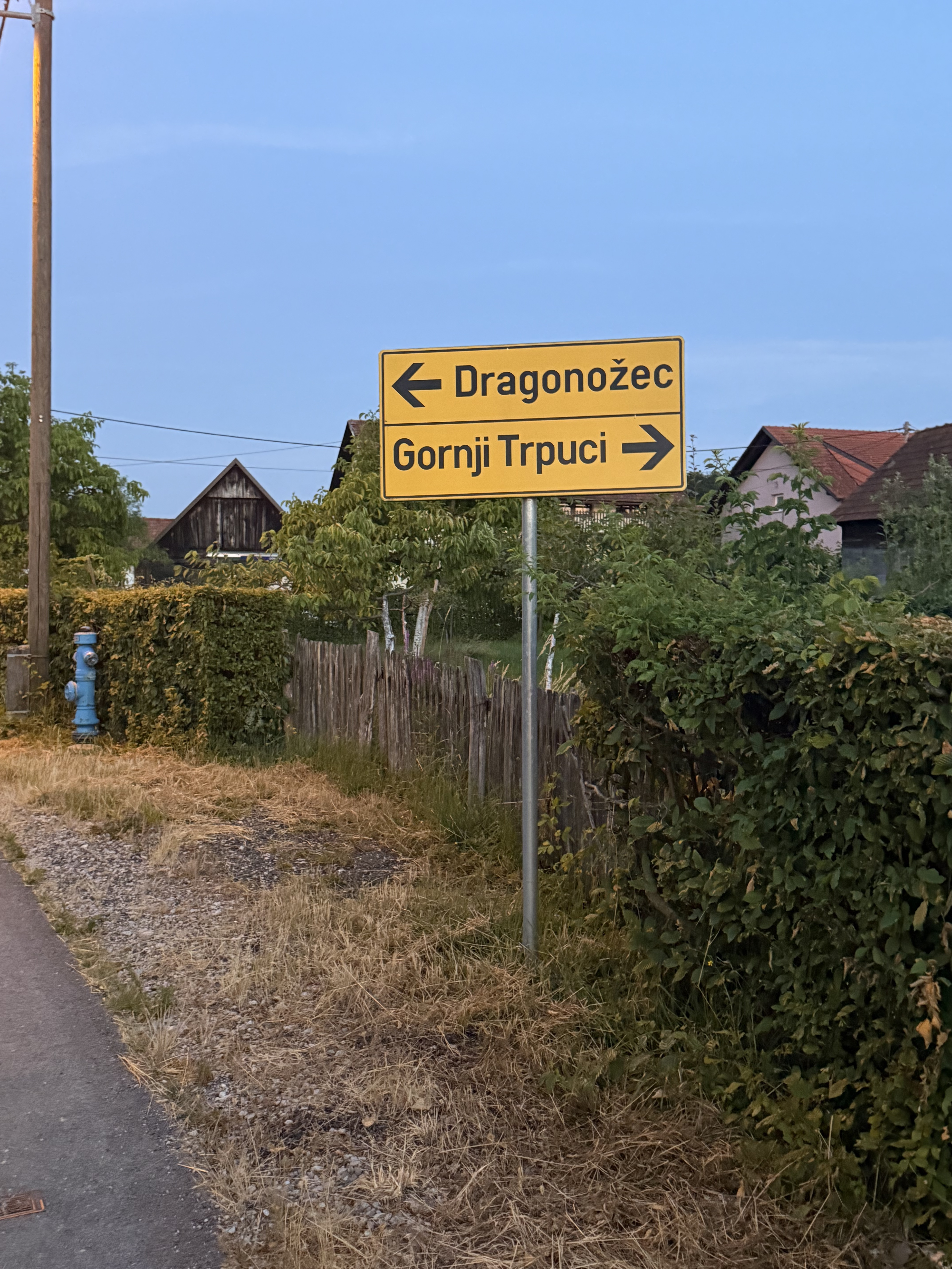
Points of interest along the route
Point of interest after 105.9 km
Cetingrad
Point of interest after 116.1 km
Velika Kladuša
Point of interest after 146.3 km
Rastoke
Point of interest after 177.3 km
Plitvička Jezera
Point of interest after 237.7 km
Gospić
Point of interest after 312.1 km
Obrovac
Point of interest after 358.2 km
Zadar
Point of interest after 403.4 km
Sakarun
Point of interest after 485.9 km
Zverunac
Continue with Bikemap
Use, edit, or download this cycling route
You would like to ride bip More or customize it for your own trip? Here is what you can do with this Bikemap route:
Free features
- Save this route as favorite or in collections
- Copy & plan your own version of this route
- Split it into stages to create a multi-day tour
- Sync your route with Garmin or Wahoo
Premium features
Free trial for 3 days, or one-time payment. More about Bikemap Premium.
- Navigate this route on iOS & Android
- Export a GPX / KML file of this route
- Create your custom printout (try it for free)
- Download this route for offline navigation
Discover more Premium features.
Get Bikemap PremiumFrom our community
Other popular routes starting in Donji grad
 Route 66 nasip
- Distance
- 24.1 km
- Ascent
- 53 m
- Descent
- 52 m
- Location
- Donji grad, City of Zagreb, Croatia
 bip More
- Distance
- 804.1 km
- Ascent
- 1,800 m
- Descent
- 1,902 m
- Location
- Donji grad, City of Zagreb, Croatia
 Ulica Florijana Andrašeca, Zagreb to Trpučanska cesta, Donji Trpuci
- Distance
- 23.2 km
- Ascent
- 121 m
- Descent
- 42 m
- Location
- Donji grad, City of Zagreb, Croatia
 Nature Park Medvednica
- Distance
- 13.8 km
- Ascent
- 939 m
- Descent
- 106 m
- Location
- Donji grad, City of Zagreb, Croatia
Garmin
Zagreb - Centar Cycling- Distance
- 55.1 km
- Ascent
- 70 m
- Descent
- 71 m
- Location
- Donji grad, City of Zagreb, Croatia
 Zavrtnica, Zagreb to Kras
- Distance
- 242.1 km
- Ascent
- 4,392 m
- Descent
- 4,256 m
- Location
- Donji grad, City of Zagreb, Croatia
 Adriatyk III (Zagrzeb - Kanegra)
- Distance
- 336 km
- Ascent
- 1,213 m
- Descent
- 1,291 m
- Location
- Donji grad, City of Zagreb, Croatia
 From Zagreb to Dobrinj
- Distance
- 223.5 km
- Ascent
- 4,149 m
- Descent
- 4,014 m
- Location
- Donji grad, City of Zagreb, Croatia
Open it in the app