
RF EK2: Elbklause--ERW (links)--Meißen--ERW (rechts)--Elbweindörfer--Diesbar-Seußlitz (Fähre)--Elbklause
- 24.5 km
- 118 m
- 116 m
- Weißig, Saxony, Germany
A cycling route starting in Weißig, Saxony, Germany.
Overview
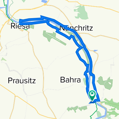
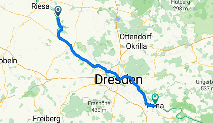
Tour 2 from Merschwitz to Pirna Copitzer Elbcafe 2. Second overnight
created this 11 years ago
Route quality
Path
20.2 km
(33 %)
Cycleway
15.9 km
(26 %)
Paved
48.4 km
(79 %)
Unpaved
4.3 km
(7 %)
Asphalt
47.2 km
(77 %)
Ground
2.5 km
(4 %)
Continue with Bikemap
You would like to ride Elberradweg: Merschwitz - Pirna or customize it for your own trip? Here is what you can do with this Bikemap route:
Free trial for 3 days, or one-time payment. More about Bikemap Premium.
Discover more Premium features.
Get Bikemap PremiumFrom our community
Open it in the app