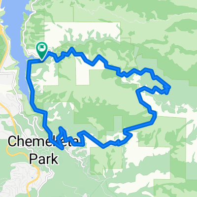
LosGatos->Soquel->Corallitos->BlackRd
- 95.4 km
- 1,302 m
- 1,278 m
- Lexington Hills, California, United States
A cycling route starting in Lexington Hills, California, United States.
Overview
Hicks Road @ bridge crossing Guadalupe Creek, to top, right on Mt Umunhum (Loma Almaden), past gate, to white line. For 2014 Low-Key Hillclimb series
created this 11 years ago
Route quality
Quiet road
4.7 km
(71 %)
Road
1.9 km
(29 %)
Paved
6.6 km
(100 %)
Asphalt
4.7 km
(71 %)
Paved (undefined)
1.9 km
(29 %)
Continue with Bikemap
You would like to ride Hicks - Umunhum to white line or customize it for your own trip? Here is what you can do with this Bikemap route:
Free trial for 3 days, or one-time payment. More about Bikemap Premium.
Discover more Premium features.
Get Bikemap PremiumFrom our community
Open it in the app