Arribes_Duero_Etapa03
- 141.7 km
- 2,776 m
- 2,872 m
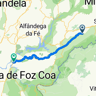
- Mogadouro, Braganza District, Portugal
A cycling route starting in Mogadouro, Braganza District, Portugal.
Overview
None (cloned from route 1057527)
(cloned from route 2696767) (cloned from route 2696856) (cloned from route 2696886) (cloned from route 2698079) (cloned from route 2698080) (cloned from route 2698094) (cloned from route 2698939) (cloned from route 2698946)created this 11 years ago
Route quality
Cycleway
9.1 km
(12 %)
Track
5.3 km
(7 %)
Paved
13.7 km
(18 %)
Asphalt
13 km
(17 %)
Paved (undefined)
0.8 km
(1 %)
Undefined
62.5 km
(82 %)
Continue with Bikemap
You would like to ride Mogadouro - Vila Flor or customize it for your own trip? Here is what you can do with this Bikemap route:
Free trial for 3 days, or one-time payment. More about Bikemap Premium.
Discover more Premium features.
Get Bikemap PremiumFrom our community
Open it in the app