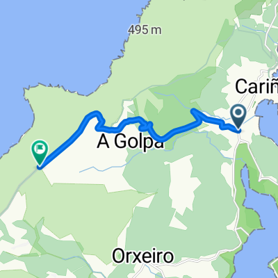
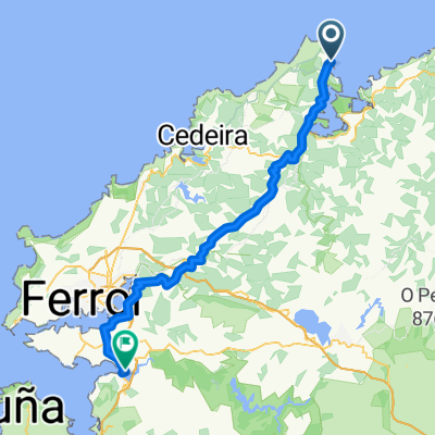
Cariño - Finisterre
A cycling route starting in Cariño, Galicia, Spain.
Overview
About this route
6ª Jornada: Cariño - Finisterre
- -:--
- Duration
- 291.6 km
- Distance
- 2,052 m
- Ascent
- 1,939 m
- Descent
- ---
- Avg. speed
- ---
- Avg. speed
Continue with Bikemap
Use, edit, or download this cycling route
You would like to ride Cariño - Finisterre or customize it for your own trip? Here is what you can do with this Bikemap route:
Free features
- Save this route as favorite or in collections
- Copy & plan your own version of this route
- Sync your route with Garmin or Wahoo
Premium features
Free trial for 3 days, or one-time payment. More about Bikemap Premium.
- Navigate this route on iOS & Android
- Export a GPX / KML file of this route
- Create your custom printout (try it for free)
- Download this route for offline navigation
Discover more Premium features.
Get Bikemap PremiumFrom our community
Other popular routes starting in Cariño
- Estaca de Bares Fabas Estaca de Bares
- Distance
- 34.2 km
- Ascent
- 751 m
- Descent
- 759 m
- Location
- Cariño, Galicia, Spain
- Rio Sor 2kez: Ribeira do Obispo-Ponte Segade
- Distance
- 58.9 km
- Ascent
- 1,009 m
- Descent
- 1,009 m
- Location
- Cariño, Galicia, Spain
- Cariño - Finisterre
- Distance
- 291.6 km
- Ascent
- 2,052 m
- Descent
- 1,939 m
- Location
- Cariño, Galicia, Spain
- ------------
- Distance
- 1,127.8 km
- Ascent
- 3,293 m
- Descent
- 3,284 m
- Location
- Cariño, Galicia, Spain
- Cabo Ortegal
- Distance
- 57.5 km
- Ascent
- 1,282 m
- Descent
- 1,112 m
- Location
- Cariño, Galicia, Spain
- 22.Faros del Norte: Cariño - faro de cabo Ortegal - Cedeira
- Distance
- 38.1 km
- Ascent
- 917 m
- Descent
- 899 m
- Location
- Cariño, Galicia, Spain
- Cariño - San Andres
- Distance
- 18.7 km
- Ascent
- 659 m
- Descent
- 548 m
- Location
- Cariño, Galicia, Spain
- Cariño-Teixedo-Cedeira
- Distance
- 25.9 km
- Ascent
- 825 m
- Descent
- 828 m
- Location
- Cariño, Galicia, Spain
Open it in the app