Kirchzarten einfach
- 7 km
- 132 m
- 132 m
- Kirchzarten, Baden-Wurttemberg, Germany
A cycling route starting in Kirchzarten, Baden-Wurttemberg, Germany.
Overview
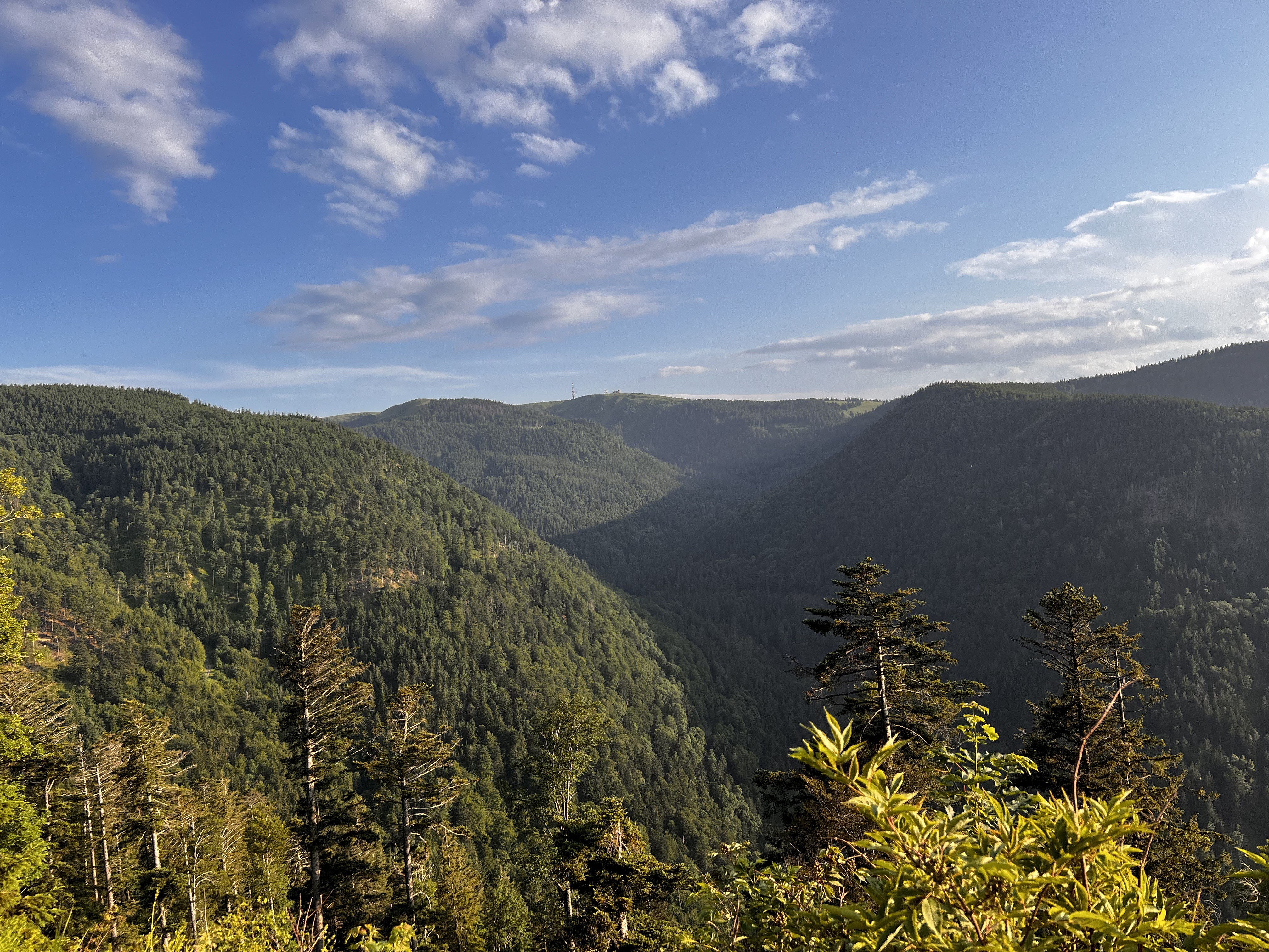
First of all: this route is not for material fetishists, as the asphalt is sometimes quite 'rustic'. You should also be able to ride for a km at a 12% incline. If the route through Ibental is too steep and the asphalt too bad, you can take the 'normal' route through Eschbach Valley. The elevation gain indicated here is also rather 'conservatively estimated', I would expect at least 1500 hm or more.
Most of the ride is on side roads to St. Peter and St. Märgen, through Glashütte and Hexenloch to Kalte Herberge. Between Hexenloch and Kalte Herberge, there is an opportunity on the right side just before a turn to refill bottles at a water point. From Kalte Herberge you can shorten the route by taking the federal road and skipping the two detours through Waldau and Jostal. If you are riding together, you can meet again in Thurmer. There is a tavern with a terrace there. But it's best to have only non-alcoholic drinks, as you should be of clear mind for the next two descent options. At Thurner, you then head onto Spirzenstraße. If you like to descend quickly, turn left at the curve until you reach the valley road; otherwise, go straight over 'Auf den Spirzen' and the climbing path to the valley road. There you will meet back up with the rest of the group. The straight path in the curve is definitely more scenic, but also slower.created this 11 years ago
Route quality
Quiet road
19.6 km
(30 %)
Road
18.3 km
(28 %)
Paved
62.8 km
(96 %)
Asphalt
62.8 km
(96 %)
Undefined
2.6 km
(4 %)
Continue with Bikemap
You would like to ride Auf Nebenstraßen östlich nach St.Peter St.Märgen or customize it for your own trip? Here is what you can do with this Bikemap route:
Free trial for 3 days, or one-time payment. More about Bikemap Premium.
Discover more Premium features.
Get Bikemap PremiumFrom our community
Open it in the app