Trubachtal-Pegnitztal
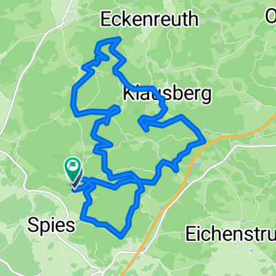
A cycling route starting in Hiltpoltstein, Bavaria, Germany.
Overview
About this route
- -:--
- Duration
- 96.8 km
- Distance
- 1,358 m
- Ascent
- 1,315 m
- Descent
- ---
- Avg. speed
- 573 m
- Max. altitude
Route quality
Waytypes & surfaces along the route
Waytypes
Busy road
51.9 km
(54 %)
Road
23.3 km
(24 %)
Surfaces
Paved
58.8 km
(61 %)
Unpaved
5.3 km
(5 %)
Asphalt
57.5 km
(59 %)
Gravel
2.5 km
(3 %)
Continue with Bikemap
Use, edit, or download this cycling route
You would like to ride Trubachtal-Pegnitztal or customize it for your own trip? Here is what you can do with this Bikemap route:
Free features
- Save this route as favorite or in collections
- Copy & plan your own version of this route
- Split it into stages to create a multi-day tour
- Sync your route with Garmin or Wahoo
Premium features
Free trial for 3 days, or one-time payment. More about Bikemap Premium.
- Navigate this route on iOS & Android
- Export a GPX / KML file of this route
- Create your custom printout (try it for free)
- Download this route for offline navigation
Discover more Premium features.
Get Bikemap PremiumFrom our community
Other popular routes starting in Hiltpoltstein
- Burg Wildenfels u. Strahlenfels Wander
- Distance
- 5.8 km
- Ascent
- 153 m
- Descent
- 156 m
- Location
- Hiltpoltstein, Bavaria, Germany
- G_Bayern_Spies-Schweinsberg-Klausberg-Eckenreuth-Reuthof--Eibgrat_LR-15,1km-270hm
- Distance
- 16.2 km
- Ascent
- 380 m
- Descent
- 367 m
- Location
- Hiltpoltstein, Bavaria, Germany
- Spies_Reipertsgesee_Betzenstein_Eibengrat
- Distance
- 14.5 km
- Ascent
- 418 m
- Descent
- 421 m
- Location
- Hiltpoltstein, Bavaria, Germany
- Burg Leienfels RF ab Spies
- Distance
- 44.3 km
- Ascent
- 531 m
- Descent
- 510 m
- Location
- Hiltpoltstein, Bavaria, Germany
- hiltpoltstein_strahlenfels_obertrubach
- Distance
- 20.2 km
- Ascent
- 547 m
- Descent
- 549 m
- Location
- Hiltpoltstein, Bavaria, Germany
- Main-Donau-Weg - Jura-Linie
- Distance
- 105.3 km
- Ascent
- 841 m
- Descent
- 1,006 m
- Location
- Hiltpoltstein, Bavaria, Germany
- Quer durch die Fränkische Schweiz
- Distance
- 84 km
- Ascent
- 1,328 m
- Descent
- 1,271 m
- Location
- Hiltpoltstein, Bavaria, Germany
- Veldensteiner Forst über Betzenstein
- Distance
- 56.3 km
- Ascent
- 944 m
- Descent
- 991 m
- Location
- Hiltpoltstein, Bavaria, Germany
Open it in the app