Ems Radweg
- 369.4 km
- 49 m
- 192 m
- Hövelhof, North Rhine-Westphalia, Germany
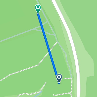
A cycling route starting in Hövelhof, North Rhine-Westphalia, Germany.
Overview
The Emsradweg is a long-distance cycling route in North Rhine-Westphalia and Lower Saxony, stretching over a distance of 379 kilometers from the sources of the Ems between Schloß Holte-Stukenbrock and Hövelhof to its mouth at Emden into the North Sea. It runs mostly in immediate proximity to the Ems. Generally, the route follows paved side roads or bike paths away from traffic roads. The path is very varied: fields, forests, meadows, and cities alternate. The Emsradweg crosses a total of five vacation regions. The Teutoburg Forest offers good viewpoints with its hill chains, in the Münsterland the route passes through the Ems floodplains, and the northern part with Emsland and East Frisia impresses with the vastness of the landscape and maritime flair. In the southern Emsland, the Ems carves its way through moor and heathland. Just before the town of Lingen (Ems), the three watercourses Ems, Dortmund-Ems Canal, and Ems-Vechte Canal intersect. Behind Papenburg, the Ems is subject to the influence of the tides of the North Sea. Here, it may happen that the Ems suddenly flows 'the wrong way'. Those traveling beyond Emden to the coast (about at the height of Campen) can see the transition from the Ems to the North Sea in the riverside vegetation (algae, etc.).
created this 11 years ago
Route quality
Quiet road
155.3 km
(41 %)
Path
98.5 km
(26 %)
Paved
261.4 km
(69 %)
Unpaved
45.5 km
(12 %)
Asphalt
234.9 km
(62 %)
Gravel
34.1 km
(9 %)
Route highlights

Kanalüberführung Münster-Gelmer Die Kanalüberführung bei Münster-Gelmer ist ein bedeutendes Industriedenkmal aus dem ausgehenden 19. Jahrhundert. Es ermöglichte die Überführung der „Alten Fahrt“ des Dortmund-Ems-Kanals über die Ems in unmittelbarer Nähe von Gelmer.

Dörenther Klippen im Teutoburger Wald Die Dörenther Klippen sind eine rund vier Kilometer lange und bis 159 m ü. NN hohe Sandstein-Felsformation entlang des oberen Südwesthangs des Teutoburger Waldes. Herausragende Einzelfelsen sind der „Dreikaiserstuhl“ im ostsüdöstlichen und das „Hockende Weib“ im

Lingen (Ems) Lingen ist eine historisch geprägte Stadt im Emsland. Auf dem Marktplatz und in der angrenzenden Altstadt finden sich zahlreiche Giebelhäuser. Die ältesten wurden nach dem großen Lingener Stadtbrand im Jahr 1548 neu errichtet. Zu ihnen zählt die Alte Posthalterei, ein zweigeschossiges F
Continue with Bikemap
You would like to ride Ems-Radweg or customize it for your own trip? Here is what you can do with this Bikemap route:
Free trial for 3 days, or one-time payment. More about Bikemap Premium.
Discover more Premium features.
Get Bikemap PremiumFrom our community
Open it in the app