Genf - Avignon - Mediterranean and return
A cycling route starting in Vandœuvres, Canton of Geneva, Switzerland.
Overview
About this route
1st base from Geneva to Chêne-en-Semine
2nd base from Chêne-en-Semine to Priay
3rd base from Priay to Hauterives
4th base from Hauterives to Grignan
5th base from Grignan to Avignon
6th base from Avignon to Gallician
7th base from Gallician to Eygalières
8th base from Eygalières to Malaucène
9th base from Malaucène to Charmes-sur-I'Herbasse
10th base from Charmes-sur-I'Herbasse to Les Avenières
11th base from Les Avenières to Ste-Helène-du Lac
12th base from Ste-Helène-du Lac to Annecy
13th base from Annecy to Geneva
- -:--
- Duration
- 1,286.7 km
- Distance
- 3,013 m
- Ascent
- 3,008 m
- Descent
- ---
- Avg. speed
- ---
- Avg. speed
Route highlights
Points of interest along the route
Point of interest after 113.4 km
Campground and night 1st base
Point of interest after 255.6 km
Campground and night 2nd base
Point of interest after 375.9 km
Point of interest after 465.8 km
Campground and night 4th base
Point of interest after 522 km
Campground and night 5th base
Photo after 553.6 km
Pont du Gard a nice place to enjoy and to swim.
Point of interest after 609.7 km
Campground and night 6th base
Point of interest after 721.1 km
Campground and night 7th base
Point of interest after 945.6 km
Campground and night 3rd base
Point of interest after 1,113.8 km
Ăśbernachtung
Point of interest after 1,205.2 km
Camping
Continue with Bikemap
Use, edit, or download this cycling route
You would like to ride Genf - Avignon - Mediterranean and return or customize it for your own trip? Here is what you can do with this Bikemap route:
Free features
- Save this route as favorite or in collections
- Copy & plan your own version of this route
- Sync your route with Garmin or Wahoo
Premium features
Free trial for 3 days, or one-time payment. More about Bikemap Premium.
- Navigate this route on iOS & Android
- Export a GPX / KML file of this route
- Create your custom printout (try it for free)
- Download this route for offline navigation
Discover more Premium features.
Get Bikemap PremiumFrom our community
Other popular routes starting in Vandœuvres
- Genève - Montreux
- Distance
- 80 km
- Ascent
- 712 m
- Descent
- 704 m
- Location
- Vandœuvres, Canton of Geneva, Switzerland
- Place du Manoir, Cologny Ă Chemin du Trappeur, Veyrier
- Distance
- 8.3 km
- Ascent
- 75 m
- Descent
- 107 m
- Location
- Vandœuvres, Canton of Geneva, Switzerland
- 21. Tag Vesénaz - Genf - mit Zug nach Hause
- Distance
- 8 km
- Ascent
- 71 m
- Descent
- 54 m
- Location
- Vandœuvres, Canton of Geneva, Switzerland
- 2. tag
- Distance
- 103.7 km
- Ascent
- 622 m
- Descent
- 540 m
- Location
- Vandœuvres, Canton of Geneva, Switzerland
- Genève - Montreux
- Distance
- 154.3 km
- Ascent
- 1,457 m
- Descent
- 1,425 m
- Location
- Vandœuvres, Canton of Geneva, Switzerland
- Etape 1 : Prologue : Vésenaz (Tour de Suisse, Aramis) 1.5 km
- Distance
- 1.5 km
- Ascent
- 40 m
- Descent
- 0 m
- Location
- Vandœuvres, Canton of Geneva, Switzerland
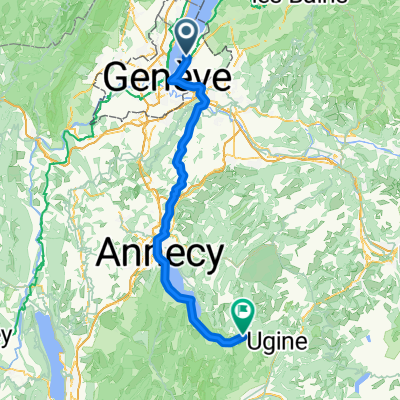
- vandoeuvre-saxel-bonne-vandoeuvre
- Distance
- 55.9 km
- Ascent
- 592 m
- Descent
- 593 m
- Location
- Vandœuvres, Canton of Geneva, Switzerland
- De Quai de Cologny 28 a Boulevard de la Cluse 67, Genève
- Distance
- 7 km
- Ascent
- 17 m
- Descent
- 3 m
- Location
- Vandœuvres, Canton of Geneva, Switzerland
Open it in the app