

Burkhardtsdorf - Elterlein -Schlettau - Geyer
A cycling route starting in Burkhardtsdorf, Saxony, Germany.
Overview
About this route
a rather relaxed tour through the area of Zwönitz and Geyer, passing by Scheibenberg and Pöhlberg. The suitability for road bikes should be taken with caution, as a small part of the route goes over an unpaved but reinforced forest path. Alternatively, you can ride via Jahnsbach.
- -:--
- Duration
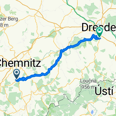
- 57.1 km
- Distance
- 551 m
- Ascent
- 551 m
- Descent
- ---
- Avg. speed
- ---
- Max. altitude
Continue with Bikemap
Use, edit, or download this cycling route
You would like to ride Burkhardtsdorf - Elterlein -Schlettau - Geyer or customize it for your own trip? Here is what you can do with this Bikemap route:
Free features
- Save this route as favorite or in collections
- Copy & plan your own version of this route
- Sync your route with Garmin or Wahoo
Premium features
Free trial for 3 days, or one-time payment. More about Bikemap Premium.
- Navigate this route on iOS & Android
- Export a GPX / KML file of this route
- Create your custom printout (try it for free)
- Download this route for offline navigation
Discover more Premium features.
Get Bikemap PremiumFrom our community
Other popular routes starting in Burkhardtsdorf
 Vom Zwönitztalweg zum Eisenweg
- Distance
- 26.9 km
- Ascent
- 290 m
- Descent
- 290 m
- Location
- Burkhardtsdorf, Saxony, Germany
 Klaffenbach Adorf Meinersdorf Klaffenbach
- Distance
- 16.2 km
- Ascent
- 373 m
- Descent
- 373 m
- Location
- Burkhardtsdorf, Saxony, Germany
 hieckis
- Distance
- 86.5 km
- Ascent
- 884 m
- Descent
- 1,045 m
- Location
- Burkhardtsdorf, Saxony, Germany
 Einsiedel via Zwönitz zurück
- Distance
- 53.9 km
- Ascent
- 462 m
- Descent
- 589 m
- Location
- Burkhardtsdorf, Saxony, Germany
 Klaffenbach - Talsperre Stooberg
- Distance
- 10.9 km
- Ascent
- 234 m
- Descent
- 156 m
- Location
- Burkhardtsdorf, Saxony, Germany
 Burkhardtsdorf - Elterlein -Schlettau - Geyer
- Distance
- 57.1 km
- Ascent
- 551 m
- Descent
- 551 m
- Location
- Burkhardtsdorf, Saxony, Germany
 auersberg - fichtelberg
- Distance
- 145 km
- Ascent
- 1,481 m
- Descent
- 1,481 m
- Location
- Burkhardtsdorf, Saxony, Germany
 Burkhardtsdorf - Fichtelberg - Plattenberg
- Distance
- 117.2 km
- Ascent
- 1,520 m
- Descent
- 1,419 m
- Location
- Burkhardtsdorf, Saxony, Germany
Open it in the app