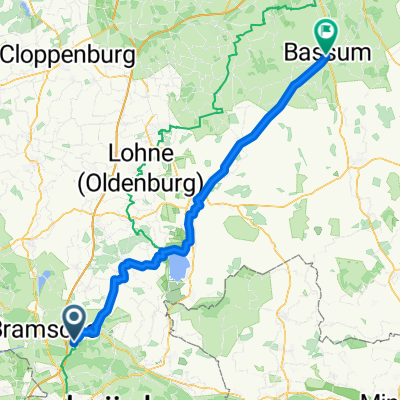
Von Bramsche bis Bassum
- 84.3 km
- 162 m
- 189 m
- Wallenhorst, Lower Saxony, Germany
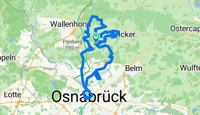
A cycling route starting in Wallenhorst, Lower Saxony, Germany.
Overview
The tour begins in the middle of Rulle and then goes through Nettetal, to Dodesheide, continuing into the city center of Osnabrück. Then over Lechtingen towards ostrulle. Once almost in Icker, we quickly head back to the starting point.
Route quality
Quiet road
20.7 km
(48 %)
Road
6.1 km
(14 %)
Paved
30.7 km
(71 %)
Unpaved
3.5 km
(8 %)
Asphalt
24.2 km
(56 %)
Paved (undefined)
6.5 km
(15 %)
Continue with Bikemap
You would like to ride Rulle- Vpn der Stadt bis zur Bauernschaft or customize it for your own trip? Here is what you can do with this Bikemap route:
Free trial for 3 days, or one-time payment. More about Bikemap Premium.
Discover more Premium features.
Get Bikemap PremiumFrom our community
Open it in the app