

Slovakia
A cycling route starting in Cieszyn, Silesian Voivodeship, Poland.
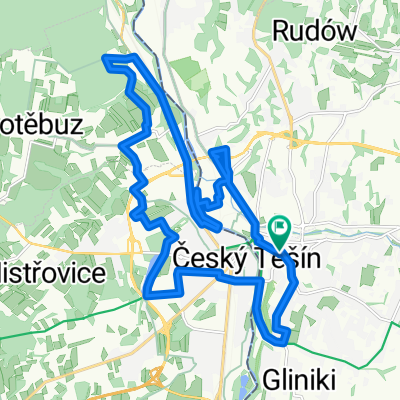
Overview
About this route
Дальше на поезде до Львова
- -:--
- Duration
- 956.1 km
- Distance
- 928 m
- Ascent
- 1,082 m
- Descent
- ---
- Avg. speed
- ---
- Max. altitude

Route highlights
Points of interest along the route

Point of interest after 61.9 km
Ночевка
Point of interest after 65.7 km
Сели на поезд до Братиславы
Point of interest after 254.4 km
дальше на велосипедах до Вены

Point of interest after 263.9 km
Велодорожка до Вены
Point of interest after 329.2 km
Ночевали в палатках на острове в центе Вены, затем поехали на поезде до Marchegg
Point of interest after 407.3 km
Сели на поезд, до Кошице
Point of interest after 901.8 km
проехали на велосипедах 100 км, оказалось пешего перехо нет, надо было южнее ехать на 35 км, но мы успели попасть в Ужгород и проехали за день 160 км))
Continue with Bikemap
Use, edit, or download this cycling route
You would like to ride Slovakia or customize it for your own trip? Here is what you can do with this Bikemap route:
Free features
- Save this route as favorite or in collections
- Copy & plan your own version of this route
- Split it into stages to create a multi-day tour
- Sync your route with Garmin or Wahoo
Premium features
Free trial for 3 days, or one-time payment. More about Bikemap Premium.
- Navigate this route on iOS & Android
- Export a GPX / KML file of this route
- Create your custom printout (try it for free)
- Download this route for offline navigation
Discover more Premium features.
Get Bikemap PremiumFrom our community
Other popular routes starting in Cieszyn
 Białogród i słupy graniczne
- Distance
- 80.7 km
- Ascent
- 273 m
- Descent
- 273 m
- Location
- Cieszyn, Silesian Voivodeship, Poland
 Chata Ostry - Ropice - Hot. Ondrasz
- Distance
- 55.4 km
- Ascent
- 989 m
- Descent
- 989 m
- Location
- Cieszyn, Silesian Voivodeship, Poland
 Cieszyn - Czeski Cieszyn "Bunkry"
- Distance
- 22.3 km
- Ascent
- 172 m
- Descent
- 173 m
- Location
- Cieszyn, Silesian Voivodeship, Poland
 Między Ostrawicą i Łucyną
- Distance
- 69.3 km
- Ascent
- 555 m
- Descent
- 555 m
- Location
- Cieszyn, Silesian Voivodeship, Poland
 Wokół Tatr
- Distance
- 414.2 km
- Ascent
- 2,283 m
- Descent
- 2,283 m
- Location
- Cieszyn, Silesian Voivodeship, Poland
 Wokół Łysej Góry
- Distance
- 110.8 km
- Ascent
- 1,000 m
- Descent
- 1,000 m
- Location
- Cieszyn, Silesian Voivodeship, Poland
 Slovakia
- Distance
- 956.1 km
- Ascent
- 928 m
- Descent
- 1,082 m
- Location
- Cieszyn, Silesian Voivodeship, Poland
 W Dolomity (12 dni) 2002r
- Distance
- 2,273.5 km
- Ascent
- 34,645 m
- Descent
- 34,441 m
- Location
- Cieszyn, Silesian Voivodeship, Poland
Open it in the app