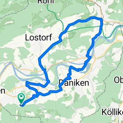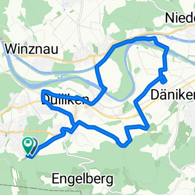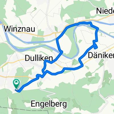
Säliring, Starrkirch-Wil nach Säliring, Starrkirch-Wil
- 13.2 km
- 136 m
- 138 m
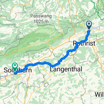
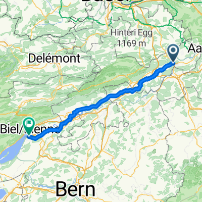
- Olten, Canton of Solothurn, Switzerland
A cycling route starting in Olten, Canton of Solothurn, Switzerland.
Overview
25.07.14 18:50
created this 11 years ago
Route quality
Road
13.6 km
(32 %)
Quiet road
2.6 km
(6 %)
Paved
32.4 km
(76 %)
Asphalt
32.4 km
(76 %)
Undefined
10.2 km
(24 %)
Continue with Bikemap
You would like to ride Oltiger stich or customize it for your own trip? Here is what you can do with this Bikemap route:
Free trial for 3 days, or one-time payment. More about Bikemap Premium.
Discover more Premium features.
Get Bikemap PremiumFrom our community
Open it in the app