Ronde Markermeer-via Urk 155km
- 137.2 km
- 0 m
- 0 m
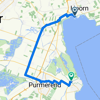
- Hoorn, North Holland, The Netherlands
A cycling route starting in Hoorn, North Holland, The Netherlands.
Overview
Rondje Schellinkhout-Hoorn-Bobeldijk-Wognum-Nibbixwoud-Schellinkhout
created this 11 years ago
Route quality
Road
19.3 km
(53 %)
Quiet road
10.2 km
(28 %)
Paved
4.7 km
(13 %)
Asphalt
4 km
(11 %)
Paved (undefined)
0.7 km
(2 %)
Undefined
31.6 km
(87 %)
Continue with Bikemap
You would like to ride Rondje Wognum or customize it for your own trip? Here is what you can do with this Bikemap route:
Free trial for 3 days, or one-time payment. More about Bikemap Premium.
Discover more Premium features.
Get Bikemap PremiumFrom our community
Open it in the app