

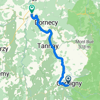
Corbigny - rond Guipy 54 km
A cycling route starting in Corbigny, Bourgogne-Franche-Comté, France.
Overview
About this route
Vanuit Chaumot in noordelijke richting langs Canal du Nivernais. Vervolgens in westelijke richting tot Champallement, langs Etang de Vaux en Canal d N naar Chaumont
(cloned from route 2719386)
- -:--
- Duration
- 54.2 km
- Distance
- 398 m
- Ascent
- 398 m
- Descent
- ---
- Avg. speed
- ---
- Max. altitude
Route quality
Waytypes & surfaces along the route
Waytypes
Road
26.5 km
(49 %)
Access road
7 km
(13 %)
Surfaces
Paved
17.3 km
(32 %)
Unpaved
0.5 km
(1 %)
Asphalt
16.2 km
(30 %)
Paved (undefined)
1.1 km
(2 %)
Continue with Bikemap
Use, edit, or download this cycling route
You would like to ride Corbigny - rond Guipy 54 km or customize it for your own trip? Here is what you can do with this Bikemap route:
Free features
- Save this route as favorite or in collections
- Copy & plan your own version of this route
- Sync your route with Garmin or Wahoo
Premium features
Free trial for 3 days, or one-time payment. More about Bikemap Premium.
- Navigate this route on iOS & Android
- Export a GPX / KML file of this route
- Create your custom printout (try it for free)
- Download this route for offline navigation
Discover more Premium features.
Get Bikemap PremiumFrom our community
Other popular routes starting in Corbigny
 leg 3 Corbigny to Clamecy
- Distance
- 35.8 km
- Ascent
- 116 m
- Descent
- 179 m
- Location
- Corbigny, Bourgogne-Franche-Comté, France
 Auxerre - Orléans - D2a
- Distance
- 130.9 km
- Ascent
- 181 m
- Descent
- 276 m
- Location
- Corbigny, Bourgogne-Franche-Comté, France
 Tour de France
- Distance
- 56.7 km
- Ascent
- 893 m
- Descent
- 553 m
- Location
- Corbigny, Bourgogne-Franche-Comté, France
 Chitry-Asnan-Villiers-Varzy-Menou-Chateauneuf V. d. B.-Guipy-Citry
- Distance
- 93.4 km
- Ascent
- 617 m
- Descent
- 617 m
- Location
- Corbigny, Bourgogne-Franche-Comté, France
 Chitry-Saint Révérien-Prémery-Bona-Saint Saulge-Étang de Baye-Chitry
- Distance
- 90.9 km
- Ascent
- 603 m
- Descent
- 602 m
- Location
- Corbigny, Bourgogne-Franche-Comté, France
 From Corbigny to Vézelay par st pere
- Distance
- 39.2 km
- Ascent
- 438 m
- Descent
- 363 m
- Location
- Corbigny, Bourgogne-Franche-Comté, France
 Chitry-Bazoches-Vezelay-Clamecy-Canal Nivernays-Chitry
- Distance
- 90.2 km
- Ascent
- 554 m
- Descent
- 555 m
- Location
- Corbigny, Bourgogne-Franche-Comté, France
 Etape 3 : bourgogne bis
- Distance
- 66.8 km
- Ascent
- 125 m
- Descent
- 114 m
- Location
- Corbigny, Bourgogne-Franche-Comté, France
Open it in the app