Trainingsrunde für Anja und Fabian
- 48.8 km
- 828 m
- 828 m
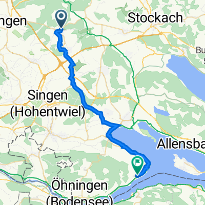
- Aach, Baden-Wurttemberg, Germany
A cycling route starting in Aach, Baden-Wurttemberg, Germany.
Overview
MTB-Runde mit touristischen Sehenswürdigkeiten.
Aach, Aachquell, historische Altstadt Petersfelsen bei Engen (Eiszeitpark) Donauversickerung bei Möhringen Ausssichtsberg Witthoh Schenkenbergkapelle im Wasserburger Talcreated this 11 years ago
Route quality
Track
16.4 km
(39 %)
Road
9.3 km
(22 %)
Paved
29.5 km
(70 %)
Unpaved
10.5 km
(25 %)
Asphalt
24.8 km
(59 %)
Gravel
5.9 km
(14 %)
Continue with Bikemap
You would like to ride Aach - Donauversickerung or customize it for your own trip? Here is what you can do with this Bikemap route:
Free trial for 3 days, or one-time payment. More about Bikemap Premium.
Discover more Premium features.
Get Bikemap PremiumFrom our community
Open it in the app