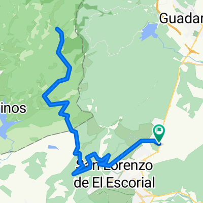
Circular San Lorenzo Escorial-Robledondo-Zarzalejo-Tomillar
- 41.3 km
- 843 m
- 843 m
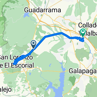
- El Escorial, Madrid, Spain
A cycling route starting in El Escorial, Madrid, Spain.
Overview
BTT route, fully rideable. Route that alternates long stretches for riding, long and fast descents, as well as hard and continuous climbs. The route includes some roads open to traffic, especially the first 5 km on the M600 where there is quite a lot of traffic. On the other paved sections, there is hardly any traffic. The rest is tracks and some segments of trails.
created this 11 years ago
Continue with Bikemap
You would like to ride Ruta San Lorenzo-La Jarosa-La Mina-Peñas Blancas-San Lorenzo or customize it for your own trip? Here is what you can do with this Bikemap route:
Free trial for 3 days, or one-time payment. More about Bikemap Premium.
Discover more Premium features.
Get Bikemap PremiumFrom our community
Open it in the app