

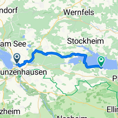
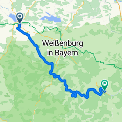
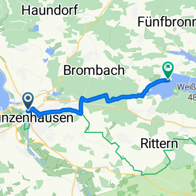
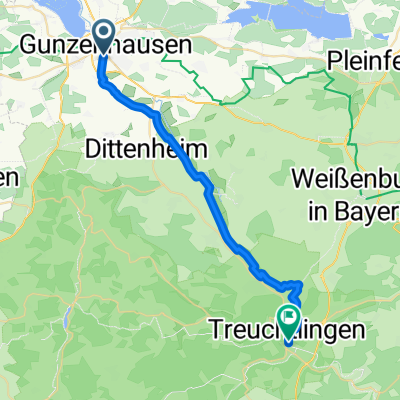
Altmühltal-Panoramaweg Gunzenhausen bis Kehlheim und weiter bis Regensburg
A cycling route starting in Gunzenhausen, Bavaria, Germany.
Overview
About this route
3-day tour from Gunzenhausen to Regensburg. Beautiful hiking trail, great for mountain bikes, but only in the direction from Gunzenhausen to Kelheim, extremely steep climbs are rewarded by wonderfully long descents. You can switch anytime to the Altmühl Valley bike path and vice versa. The gorge near Riedenburg should really only be tackled by very experienced climbers with grippy footwear; possibly take the bike path!!!
(cloned from route 1822396)
- -:--
- Duration
- 223 km
- Distance
- 1,216 m
- Ascent
- 1,295 m
- Descent
- ---
- Avg. speed
- ---
- Max. altitude

Continue with Bikemap
Use, edit, or download this cycling route
You would like to ride Altmühltal-Panoramaweg Gunzenhausen bis Kehlheim und weiter bis Regensburg or customize it for your own trip? Here is what you can do with this Bikemap route:
Free features
- Save this route as favorite or in collections
- Copy & plan your own version of this route
- Split it into stages to create a multi-day tour
- Sync your route with Garmin or Wahoo
Premium features
Free trial for 3 days, or one-time payment. More about Bikemap Premium.
- Navigate this route on iOS & Android
- Export a GPX / KML file of this route
- Create your custom printout (try it for free)
- Download this route for offline navigation
Discover more Premium features.
Get Bikemap PremiumFrom our community
Other popular routes starting in Gunzenhausen
 Seestraße nach Leitenbuckstraße
- Distance
- 18.4 km
- Ascent
- 176 m
- Descent
- 167 m
- Location
- Gunzenhausen, Bavaria, Germany
 Gunzenhausen - Eichstätt
- Distance
- 69.4 km
- Ascent
- 507 m
- Descent
- 535 m
- Location
- Gunzenhausen, Bavaria, Germany
 Rundtour Gunzenhausen Wassertrüdingen Gunzenhausen
- Distance
- 68.1 km
- Ascent
- 319 m
- Descent
- 327 m
- Location
- Gunzenhausen, Bavaria, Germany
 Gunzenhausen 2 (Brombachsee)
- Distance
- 59.5 km
- Ascent
- 449 m
- Descent
- 448 m
- Location
- Gunzenhausen, Bavaria, Germany
 Ruhige Route
- Distance
- 17 km
- Ascent
- 10 m
- Descent
- 22 m
- Location
- Gunzenhausen, Bavaria, Germany
 Altmühltal Radweg
- Distance
- 152.6 km
- Ascent
- 334 m
- Descent
- 367 m
- Location
- Gunzenhausen, Bavaria, Germany
 Gunzenhausen Absberg
- Distance
- 11.9 km
- Ascent
- 117 m
- Descent
- 124 m
- Location
- Gunzenhausen, Bavaria, Germany
 Tag 1 - Gun - Treucht
- Distance
- 26.7 km
- Ascent
- 32 m
- Descent
- 35 m
- Location
- Gunzenhausen, Bavaria, Germany
Open it in the app