
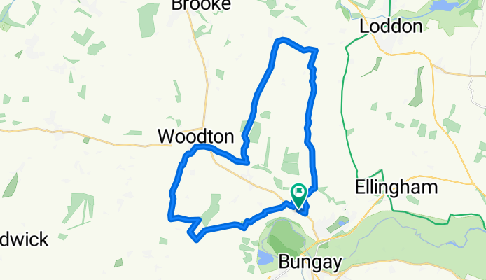
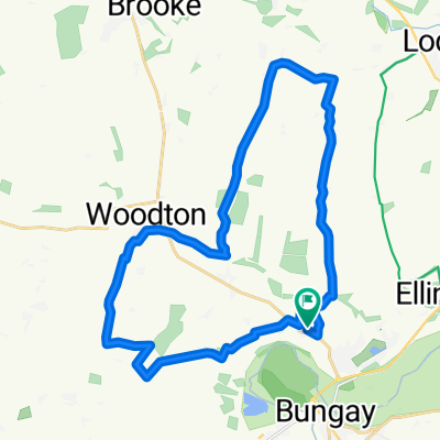
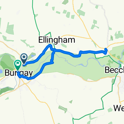
Ditchingham > Woodton > Seething > Mundham > Ditchingham
A cycling route starting in Ditchingham, England, United Kingdom.
Overview
About this route
A circute route which goes through Woodton to Seething and on to Mundham before ending up back in Ditchingham.
- -:--
- Duration
- 26.5 km
- Distance
- 102 m
- Ascent
- 102 m
- Descent
- ---
- Avg. speed
- ---
- Max. altitude

Route quality
Waytypes & surfaces along the route
Waytypes
Road
11.7 km
(44 %)
Quiet road
8.5 km
(32 %)
Surfaces
Paved
4.6 km
(17 %)
Concrete
4 km
(15 %)
Asphalt
0.6 km
(2 %)
Undefined
21.9 km
(83 %)
Continue with Bikemap
Use, edit, or download this cycling route
You would like to ride Ditchingham > Woodton > Seething > Mundham > Ditchingham or customize it for your own trip? Here is what you can do with this Bikemap route:
Free features
- Save this route as favorite or in collections
- Copy & plan your own version of this route
- Sync your route with Garmin or Wahoo
Premium features
Free trial for 3 days, or one-time payment. More about Bikemap Premium.
- Navigate this route on iOS & Android
- Export a GPX / KML file of this route
- Create your custom printout (try it for free)
- Download this route for offline navigation
Discover more Premium features.
Get Bikemap PremiumFrom our community
Other popular routes starting in Ditchingham
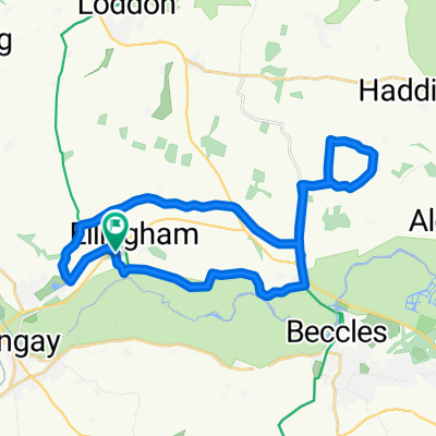 Brookfield, Station Road, Bungay to Willow Cottage, Station Road, Bungay
- Distance
- 25.9 km
- Ascent
- 93 m
- Descent
- 89 m
- Location
- Ditchingham, England, United Kingdom
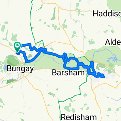 Ditchingham > Beccles > Ditchingham
- Distance
- 34 km
- Ascent
- 90 m
- Descent
- 90 m
- Location
- Ditchingham, England, United Kingdom
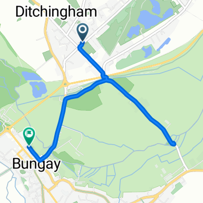 Loddon Road, Bungay to Nethergate Street, Bungay
- Distance
- 3.9 km
- Ascent
- 6 m
- Descent
- 7 m
- Location
- Ditchingham, England, United Kingdom
 Ditchingham > Woodton > Seething > Mundham > Ditchingham
- Distance
- 26.5 km
- Ascent
- 102 m
- Descent
- 102 m
- Location
- Ditchingham, England, United Kingdom
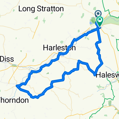 aaaaa
aaaaa- Distance
- 74.9 km
- Ascent
- 153 m
- Descent
- 141 m
- Location
- Ditchingham, England, United Kingdom
 Cracking ride in Beccles
- Distance
- 6.4 km
- Ascent
- 0 m
- Descent
- 3 m
- Location
- Ditchingham, England, United Kingdom
 Ditchingham > Loddon > Ditchingham
- Distance
- 22.2 km
- Ascent
- 113 m
- Descent
- 113 m
- Location
- Ditchingham, England, United Kingdom
 Pirnhow Street, Bungay to Nethergate Street, Bungay
- Distance
- 20.1 km
- Ascent
- 52 m
- Descent
- 48 m
- Location
- Ditchingham, England, United Kingdom
Open it in the app