Secrets of Lower Austra
- 96.3 km
- 1,233 m
- 1,233 m
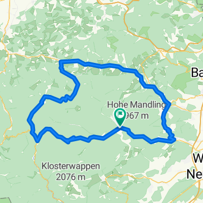
- Pernitz, Lower Austria, Austria
A cycling route starting in Pernitz, Lower Austria, Austria.
Overview
Through Pernitz towards Wöllersdorf and then back
created this 11 years ago
Route quality
Cycleway
2.1 km
(5 %)
Quiet road
1.7 km
(4 %)
Paved
30.4 km
(73 %)
Asphalt
30.4 km
(73 %)
Undefined
11.2 km
(27 %)
Continue with Bikemap
You would like to ride Teststrecke für Olympische Distanz or customize it for your own trip? Here is what you can do with this Bikemap route:
Free trial for 3 days, or one-time payment. More about Bikemap Premium.
Discover more Premium features.
Get Bikemap PremiumFrom our community
Open it in the app