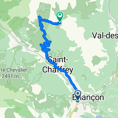
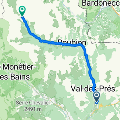
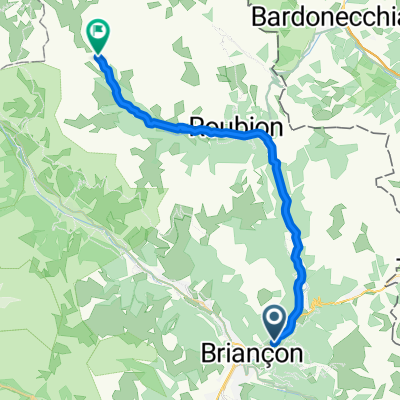
Izoard
A cycling route starting in Brian莽on, Provence-Alpes-C么te d'Azur Region, France.
Overview
About this route
Briancon - Col d'Izoard - Guillestre - Briancon
- -:--
- Duration
- 83.4 km
- Distance
- 1,566 m
- Ascent
- 1,566 m
- Descent
- ---
- Avg. speed
- ---
- Max. altitude
Route quality
Waytypes & surfaces along the route
Waytypes
Quiet road
5 km
(6 %)
Track
2.5 km
(3 %)
Surfaces
Paved
55.1 km
(66 %)
Unpaved
1.7 km
(2 %)
Asphalt
55.1 km
(66 %)
Unpaved (undefined)
0.8 km
(1 %)
Continue with Bikemap
Use, edit, or download this cycling route
You would like to ride Izoard or customize it for your own trip? Here is what you can do with this Bikemap route:
Free features
- Save this route as favorite or in collections
- Copy & plan your own version of this route
- Split it into stages to create a multi-day tour
- Sync your route with Garmin or Wahoo
Premium features
Free trial for 3 days, or one-time payment. More about Bikemap Premium.
- Navigate this route on iOS & Android
- Export a GPX / KML file of this route
- Create your custom printout (try it for free)
- Download this route for offline navigation
Discover more Premium features.
Get Bikemap PremiumFrom our community
Other popular routes starting in Brian莽on
01_Val-des-Pr茅s bis N茅vache 30/900- Distance
- 28 km
- Ascent
- 889 m
- Descent
- 141 m
- Location
- Brian莽on, Provence-Alpes-C么te d'Azur Region, France
Izoard - Agnel + Izoard- Distance
- 140 km
- Ascent
- 2,927 m
- Descent
- 2,931 m
- Location
- Brian莽on, Provence-Alpes-C么te d'Azur Region, France
**09-D. Brian莽on - Lac de la Grande L茅ch猫re (157,3 Km)- Distance
- 157.3 km
- Ascent
- 5,824 m
- Descent
- 5,355 m
- Location
- Brian莽on, Provence-Alpes-C么te d'Azur Region, France
Francia Alpok 09 v谩ndor- Distance
- 69.8 km
- Ascent
- 824 m
- Descent
- 1,464 m
- Location
- Brian莽on, Provence-Alpes-C么te d'Azur Region, France
briancon-izoard- Distance
- 20.4 km
- Ascent
- 1,201 m
- Descent
- 155 m
- Location
- Brian莽on, Provence-Alpes-C么te d'Azur Region, France
Col du Galibier via the old road- Distance
- 52 km
- Ascent
- 1,387 m
- Descent
- 1,239 m
- Location
- Brian莽on, Provence-Alpes-C么te d'Azur Region, France
Francia Alpok negyedik nap v谩ndor neh茅z- Distance
- 112.4 km
- Ascent
- 2,451 m
- Descent
- 2,851 m
- Location
- Brian莽on, Provence-Alpes-C么te d'Azur Region, France
2013-07-20: Brian莽on - St-Michel-de-Maurienne- Distance
- 77.2 km
- Ascent
- 1,464 m
- Descent
- 2,104 m
- Location
- Brian莽on, Provence-Alpes-C么te d'Azur Region, France
Open it in the app

