

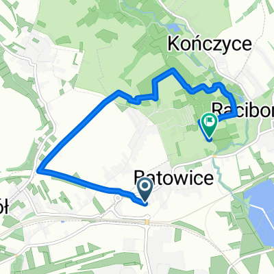
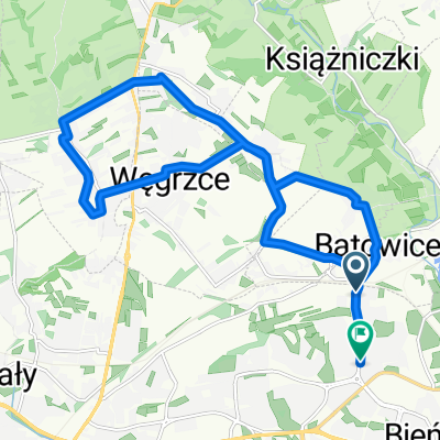
Raciborowice - Michałowice
A cycling route starting in Michałowice, Lesser Poland Voivodeship, Poland.
Overview
About this route
The trail with high landscape values leads through several sections of still undeveloped areas in the eastern regions of the Zielonki municipality, mainly along asphalt roads with minimal traffic and stabilized roads. The trail has a medium difficulty level considering the climbs to the Monument in Bosutów, from the Dłubnia Valley to Dziekanowice, as well as the exit from the Kamieniec Gorge.
- -:--
- Duration
- 13.3 km
- Distance
- 190 m
- Ascent
- 180 m
- Descent
- ---
- Avg. speed
- ---
- Max. altitude
Route quality
Waytypes & surfaces along the route
Waytypes
Quiet road
8.5 km
(64 %)
Road
2.7 km
(20 %)
Surfaces
Paved
10.2 km
(77 %)
Unpaved
2.7 km
(20 %)
Asphalt
10.2 km
(77 %)
Gravel
1.6 km
(12 %)
Route highlights
Points of interest along the route

Point of interest after 4.1 km
Zespół dworski w Boleniu
Continue with Bikemap
Use, edit, or download this cycling route
You would like to ride Raciborowice - Michałowice or customize it for your own trip? Here is what you can do with this Bikemap route:
Free features
- Save this route as favorite or in collections
- Copy & plan your own version of this route
- Sync your route with Garmin or Wahoo
Premium features
Free trial for 3 days, or one-time payment. More about Bikemap Premium.
- Navigate this route on iOS & Android
- Export a GPX / KML file of this route
- Create your custom printout (try it for free)
- Download this route for offline navigation
Discover more Premium features.
Get Bikemap PremiumFrom our community
Other popular routes starting in Michałowice
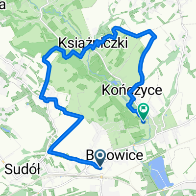
 Trasa w Zielonki 3.09
- Distance
- 5.8 km
- Ascent
- 56 m
- Descent
- 75 m
- Location
- Michałowice, Lesser Poland Voivodeship, Poland
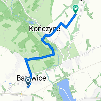
 Bibice dłubnia
- Distance
- 20.4 km
- Ascent
- 205 m
- Descent
- 208 m
- Location
- Michałowice, Lesser Poland Voivodeship, Poland
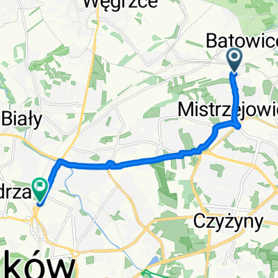
 Trasa 04.10
- Distance
- 11.7 km
- Ascent
- 159 m
- Descent
- 180 m
- Location
- Michałowice, Lesser Poland Voivodeship, Poland
 Zielona trasa rowerowa
- Distance
- 22.5 km
- Ascent
- 269 m
- Descent
- 269 m
- Location
- Michałowice, Lesser Poland Voivodeship, Poland
 Nowa trasa 01.10
- Distance
- 4.5 km
- Ascent
- 87 m
- Descent
- 46 m
- Location
- Michałowice, Lesser Poland Voivodeship, Poland
 osiedle Piastów do aleja Listopada
- Distance
- 7.9 km
- Ascent
- 48 m
- Descent
- 110 m
- Location
- Michałowice, Lesser Poland Voivodeship, Poland
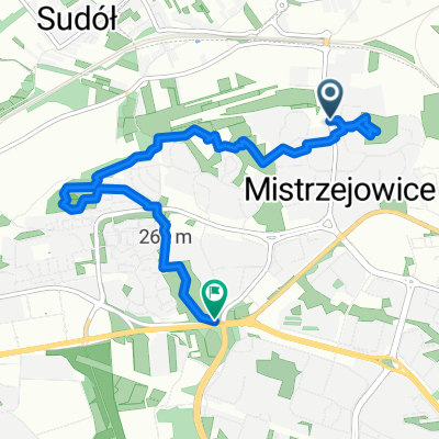 mistrzejowice-25
- Distance
- 6 km
- Ascent
- 75 m
- Descent
- 87 m
- Location
- Michałowice, Lesser Poland Voivodeship, Poland
 osiedle Piastów do osiedle Piastów 1B
- Distance
- 16.6 km
- Ascent
- 212 m
- Descent
- 258 m
- Location
- Michałowice, Lesser Poland Voivodeship, Poland
Open it in the app