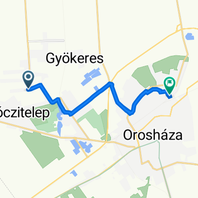
Orosháza-Hódmezővásárhely-Szeged
A cycling route starting in Orosháza, Bekes County, Hungary.
Overview
About this route
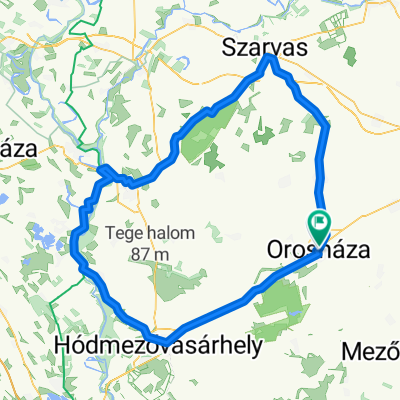
Orosháza, Kölcsey Ferenc utca Székkutas Hódmezővásárhely Szeged
- -:--
- Duration
- 54.1 km
- Distance
- 12 m
- Ascent
- 21 m
- Descent
- ---
- Avg. speed
- ---
- Max. altitude
Route quality
Waytypes & surfaces along the route
Waytypes
Cycleway
44.9 km
(83 %)
Quiet road
6.5 km
(12 %)
Surfaces
Paved
51.9 km
(96 %)
Asphalt
51.9 km
(96 %)
Undefined
2.2 km
(4 %)
Continue with Bikemap
Use, edit, or download this cycling route
You would like to ride Orosháza-Hódmezővásárhely-Szeged or customize it for your own trip? Here is what you can do with this Bikemap route:
Free features
- Save this route as favorite or in collections
- Copy & plan your own version of this route
- Sync your route with Garmin or Wahoo
Premium features
Free trial for 3 days, or one-time payment. More about Bikemap Premium.
- Navigate this route on iOS & Android
- Export a GPX / KML file of this route
- Create your custom printout (try it for free)
- Download this route for offline navigation
Discover more Premium features.
Get Bikemap PremiumFrom our community
Other popular routes starting in Orosháza
- Orosháza-Hódmezővásárhely-Szeged
- Distance
- 54.1 km
- Ascent
- 12 m
- Descent
- 21 m
- Location
- Orosháza, Bekes County, Hungary
- 65 év - 65km - 2011 május 28.
- Distance
- 65.9 km
- Ascent
- 15 m
- Descent
- 15 m
- Location
- Orosháza, Bekes County, Hungary
- kromatik
- Distance
- 73.1 km
- Ascent
- 25 m
- Descent
- 35 m
- Location
- Orosháza, Bekes County, Hungary
- július 6
- Distance
- 69.4 km
- Ascent
- 28 m
- Descent
- 31 m
- Location
- Orosháza, Bekes County, Hungary
- Hódmezővásárhely - 2013.06.09.
- Distance
- 67 km
- Ascent
- 20 m
- Descent
- 20 m
- Location
- Orosháza, Bekes County, Hungary
- július 6
- Distance
- 77.6 km
- Ascent
- 36 m
- Descent
- 42 m
- Location
- Orosháza, Bekes County, Hungary
- Fehér tó - 2013.04.20.
- Distance
- 39.4 km
- Ascent
- 8 m
- Descent
- 8 m
- Location
- Orosháza, Bekes County, Hungary
- Alföld terv 1.
- Distance
- 152 km
- Ascent
- 24 m
- Descent
- 23 m
- Location
- Orosháza, Bekes County, Hungary
Open it in the app