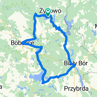
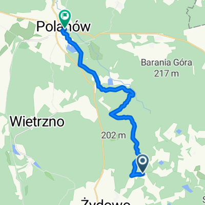
Greenway - Naszyjnik Północy _ część NW (Wielin-Polanów-Szczecinek-Połczyn Zdrój-Drawsko Pomorskie-Złocieniec-Czaplinek-Stare Drawsko-Komorze)
- 285.4 km
- 554 m
- 482 m
- Polanów, West Pomeranian Voivodeship, Poland